
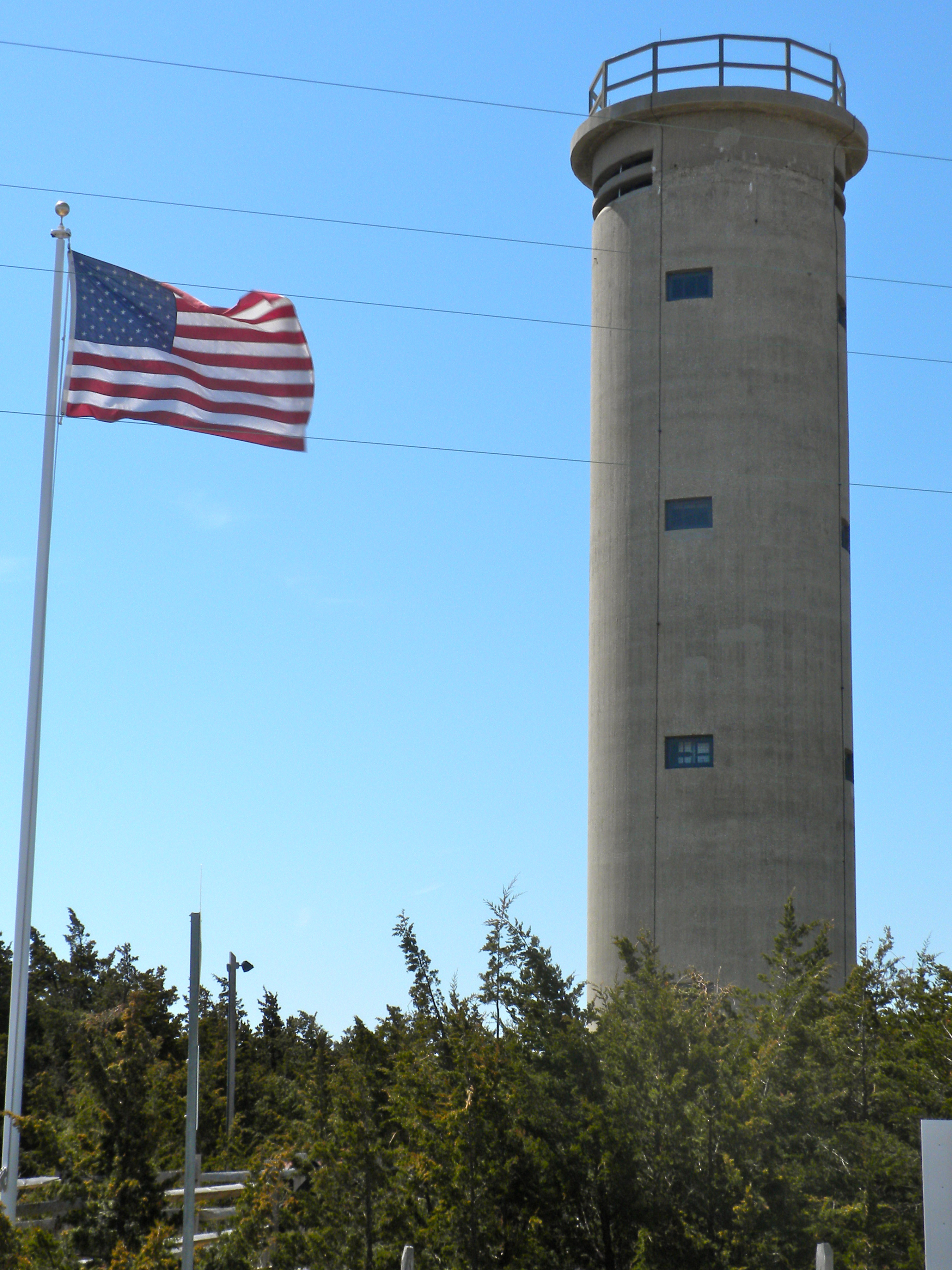
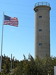
Image: Fire Control Tower 23
Size of this preview: 450 × 600 pixels. Other resolutions: 180 × 240 pixels | 2,700 × 3,600 pixels.
Original image (2,700 × 3,600 pixels, file size: 2.9 MB, MIME type: image/jpeg)
Description: Fire Control Tower No. 23 on NRHP since November 17, 2003. On Sunset Boulevard near Sunset Beach west of West Cape May (village) near Cape May Point. Tower was used during WWII, together with batteries in Lewes, Delaware to control the entrance to Delaware Bay. See also File:Battery 223 Cape May Point.JPG. In Lower Township, Cape May County, NJ
Title: Fire Control Tower 23
Credit: Own work
Author: Smallbones
Usage Terms: Public domain
License: Public domain
Attribution Required?: No
Image usage
The following page links to this image:

All content from Kiddle encyclopedia articles (including the article images and facts) can be freely used under Attribution-ShareAlike license, unless stated otherwise.