
Image: Fort Liscum, Alaska (1891)
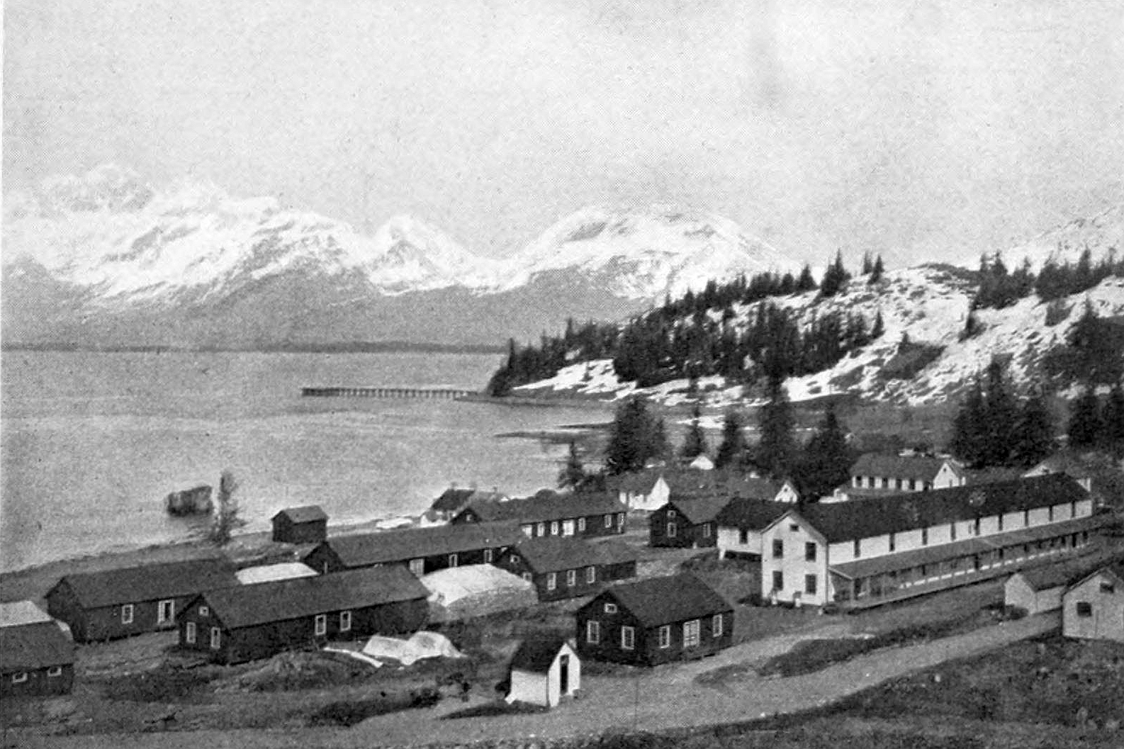
Description: Fort Liscum, Alaska. Identifier: factoryindustria23newy Title: Factory and industrial management Year: 1891 (1890s) Authors: Subjects: Engineering Factory management Industrial efficiency Publisher: New York [etc.] McGraw-Hill [etc.] Contributing Library: Engineering - University of Toronto Digitizing Sponsor: University of Toronto View Book Page: Book Viewer About This Book: Catalog Entry View All Images: All Images From Book Click here to view book online to see this illustration in context in a browseable online version of this book. Text Appearing Before Image: A BERING SEA HILL TOP, COVERED WITH TUNDRA Each man is sitting on an outcropping coal seam. The tundra is broken by mud patches into which one can sink knee-deep. Stone of the North Pacific. Not only does the shortest possible steamerline from the United States or British Columbia to any part of Asiarun within 20 miles of this field, but it is also the nearest of all Ameri-can coal mines to all the island possessions of the United States on thePacific, the nearest part of the American mainland to Hawaii, toSamoa, to Guam, and to the Philippines, and also by nearly 2,000miles nearer than the Puget Sound mines or San Francisco to allparts of Asia, and especially to the great mining regJon recently devel-oped on the shores of Bering Sea. There is a market to-day on theshores of Bering Sea, according to the United States census agent inAlaska for i8qo and 1900, for 80,000 tons of coal at prices from $10 to THE COAL RESOURCES OF THE PACIFIC. 175 Text Appearing After Image: SACKS OF COAL AT FORT LISCUM^ PRINCE WILLIAM SOUNU^ ALASKAThe pile of sacks is in the left middle ground between two buildings and covered over with a white tarpaulin. $30 a ton at lowest, ranging upwards to %y^ a ton. The consumptionni Hawaii is 150,000 tons, and the conditions are such that this coalcan be competitively exported southeastward for the Californian,Mexican, and Central American markets, and south west ward to thePhilippine Islands, for the Japanese go further, even to India, with coalof poorer quality. DISTANCES IN NAUTICAL MILES FROM Chignik-Unga.Herendeen Bay. Seattle. San Francisco.Dutch Harbor to 240 1.702 2.035 Yokohama to 2,726 4.280 \ ^^2^. Philippine Islands to 4.507 5,972 ] |-^^^| Honolulu to 2,066 2,410 2,100 Guam to 3-580 4,943 | ^,437* Nome to 550 2,362 2,770 St. Michaels to 540 2,360 2,760 *Via Honolulu. fVia Portage Bay. From the above figures taken from maps, charts, and statementsfurnished by the United States Coast and Geodetic Survey, Depart-ment of t Note About Images Please note that these images are extracted from scanned page images that may have been digitally enhanced for readability - coloration and appearance of these illustrations may not perfectly resemble the original work.
Title: Fort Liscum, Alaska (1891)
Credit: Image from page 191 of "Factory and industrial management" (1891)
Author: Internet Archive Book Images
Permission: Internet Archive Book Images @ Flickr Commons
Usage Terms: No known copyright restrictions
License: No restrictions
License Link: https://www.flickr.com/commons/usage/
Attribution Required?: No
Image usage
The following page links to this image:

.jpg)