
Image: Gastaldi Nueva Hispania Tabula Nova 1548 UTA
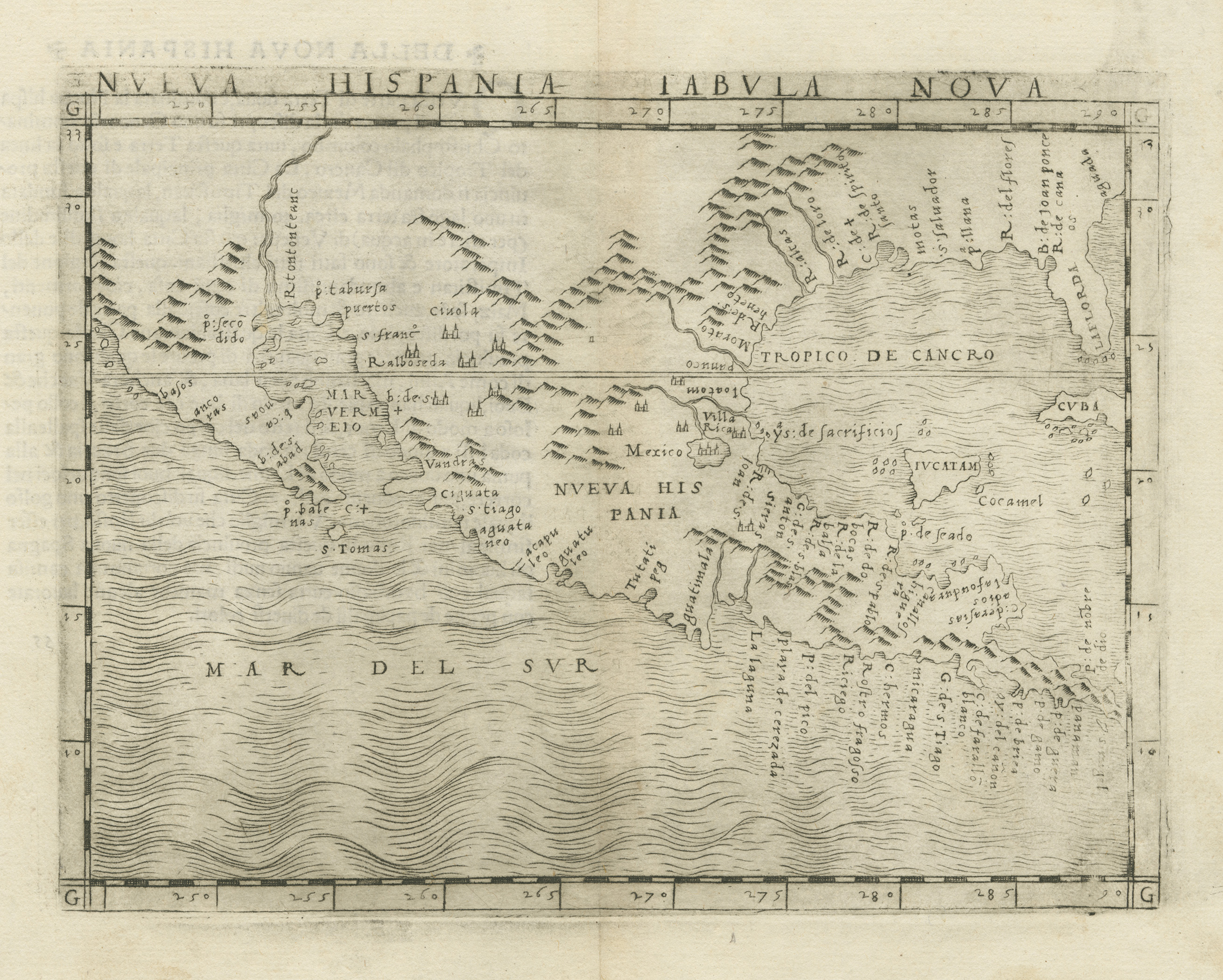
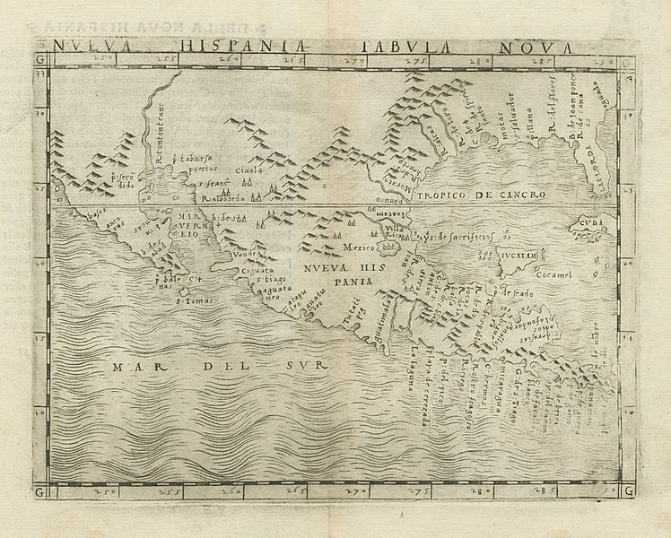
Description: Venetian Giacomo Gastaldi's map Nueva Hispania Tabula Nova for his 1548 edition of Ptolemy's Geography was one of the most important early printed maps to show the area that became Texas. It was the first printed map to focus on New Spain and the first map of the area to be printed by the new copperplate engraving method which would dominate the map trade for more than two and a half centuries. The place names on the highly influential map reflected the latest discoveries in the region, including the explorations of Pineda, Cabeza de Vaca, DeSoto and Moscosso. The "R[io]. Spiritu Santu" (Mississippi River) appears. California is shown as a peninsula, one of the earliest depictions of California on a printed map (preceded on a printed world map by Sebastian Cabot in 1544). The "R[io]. Tontonteanc" is either the Gila or the Colorado River. Florida and Cuba are named. The Yucatan peninsula appears as an island, which would later be corrected by fellow Venetian Girolamo Ruscelli's map of 1561, which otherwise is quite derivative. Gastaldi's map was arguably the best printed map of the southwest dating from the mid-16th century and his maps for Ptolemy's Geography made him one of the most influential mapmakers of this period, a time when Italians still dominated European map printing. Not until 1570, with the publication of Abraham Ortelius' Theatrum Orbis Terrarum in Antwerp did this begin to change, and not until 1597, with Cornelis Wytfliet's map of New Spain, would there be a better regional representation on a printed map.
Title: Nueva Hispania Tabula Nova
Credit: Cartographic Connections: map / text
Author: Giacomo Gastaldi
Usage Terms: Public domain
License: Public domain
Attribution Required?: No
Image usage
The following page links to this image:
