
Image: Gc01
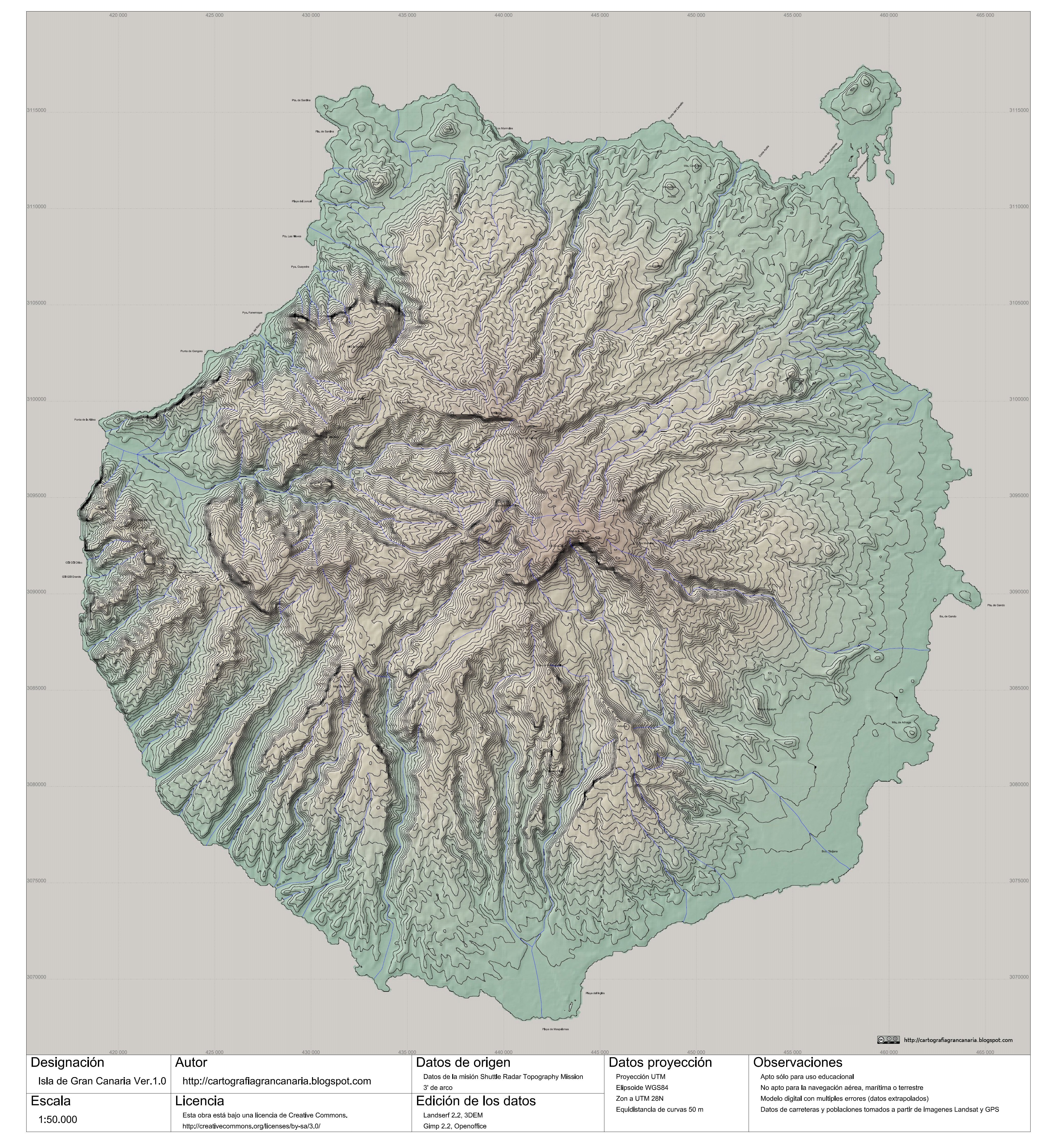
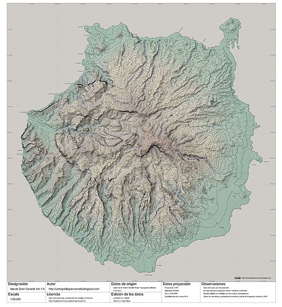
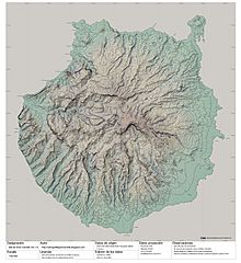
Description: Topographic map of the Gran Canaria Island (Canary Islands) Spain. Scale 1:50.000. Data of origin: Shuttle Radar Topography Mission [NASA]. 3 secs. of arc. Data of projection: UTM Map projection. WGS84 Ellipsoid. UTM zone 28N. Equidistance of curves: 50 m.
Title: Gc01
Credit: http://cartografiagrancanaria.blogspot.com/2007/10/gran-canaria-150000-para-la-wikipedia.html
Author: Cartografiagrancanaria @ Cartografiagrancanaria.blogspot.com.
Permission: Notes: Educative use only. Use nonallowed for the airplane navigation, marine or terrestrial. Digital model with multiple errors. Data of roads and populations taken from Landsat images and GPS.
Usage Terms: Creative Commons Attribution-Share Alike 3.0
License: CC BY-SA 3.0
License Link: http://creativecommons.org/licenses/by-sa/3.0
Attribution Required?: Yes
Image usage
The following page links to this image:
