
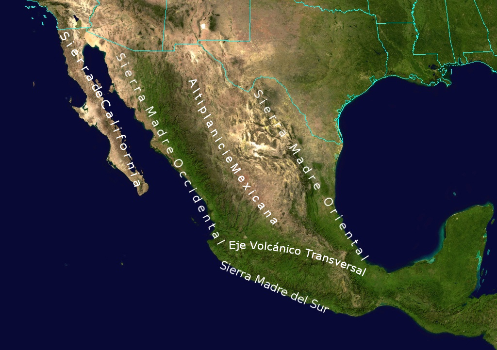
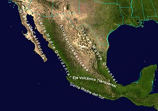
Image: Geographic Map of Mexico
Size of this preview: 800 × 564 pixels. Other resolutions: 320 × 226 pixels | 1,024 × 722 pixels.
Original image (1,024 × 722 pixels, file size: 455 KB, MIME type: image/jpeg)
Description: Topological Map labeling the most important elevations of the country
Title: Geographic Map of Mexico
Credit: NASA
Author: NASA - derivative work by Ricraider
Usage Terms: Public domain
License: Public domain
Attribution Required?: No
Image usage
The following 4 pages link to this image:

All content from Kiddle encyclopedia articles (including the article images and facts) can be freely used under Attribution-ShareAlike license, unless stated otherwise.