
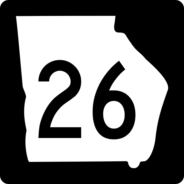
Image: Georgia 26

Size of this PNG preview of this SVG file: 600 × 600 pixels. Other resolution: 240 × 240 pixels.
Original image (SVG file, nominally 600 × 600 pixels, file size: 6 KB)
Description: Georgia state route marker. Signs use FHWA type D or type C font.
Title: Georgia 26
Credit: http://www.dot.ga.gov/PartnerSmart/DesignManuals/smguide/GDOT%20SIGNING%20AND%20MARKING%20DESIGN%20GUIDELINES.pdf and approximated from photos
Author: Fredddie, originally created by Pedriana
Usage Terms: Public domain
License: Public domain
Attribution Required?: No
Image usage
The following 18 pages link to this image:
- Bleckley County, Georgia
- Bryan County, Georgia
- Bulloch County, Georgia
- Chatham County, Georgia
- Chattahoochee County, Georgia
- Columbus–Auburn–Opelika combined statistical area
- Effingham County, Georgia
- Emanuel County, Georgia
- Houston County, Georgia
- Interstate 16
- Johnson County, Georgia
- Laurens County, Georgia
- Macon County, Georgia
- Marion County, Georgia
- Pulaski County, Georgia
- Schley County, Georgia
- Statesboro, Georgia
- U.S. Route 27 in Georgia

All content from Kiddle encyclopedia articles (including the article images and facts) can be freely used under Attribution-ShareAlike license, unless stated otherwise.