
Image: Greater London UK location map 2

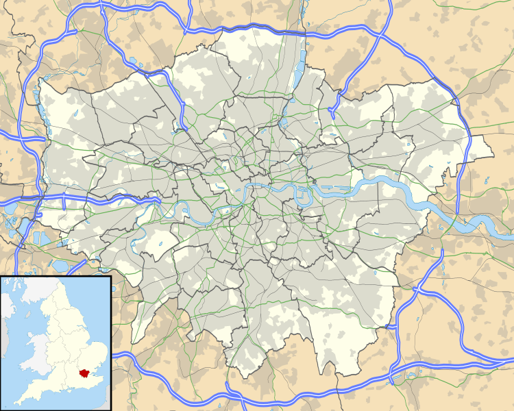
Description: Map of Greater London, UK with the following information shown: Administrative borders Coastline, lakes and rivers Roads and railways Urban areas The data includes both primary routes and railway lines. Equirectangular map projection on WGS 84 datum, with N/S stretched 160% Geographic limits: West: 0.57W East: 0.37E North: 51.72N South: 51.25N
Title: Greater London UK location map 2
Credit: Ordnance Survey OpenData. Administrative borders and coastline data from Boundary-Line product. All other geographic data from Meridian 2 product. Inset derived from England location map.svg by Spischot.
Author: Nilfanion, created using Ordnance Survey data
Permission: This file is licensed under the Creative Commons Attribution-Share Alike 3.0 Unported license. Attribution: Contains Ordnance Survey data © Crown copyright and database right You are free: to share – to copy, distribute and transmit the work to remix – to adapt the work Under the following conditions: attribution – You must attribute the work in the manner specified by the author or licensor (but not in any way that suggests that they endorse you or your use of the work). share alike – If you alter, transform, or build upon this work, you may distribute the resulting work only under the same or similar license to this one. http://creativecommons.org/licenses/by-sa/3.0 CC BY-SA 3.0 Creative Commons Attribution-Share Alike 3.0 truetrue
Usage Terms: Creative Commons Attribution-Share Alike 3.0
License: CC BY-SA 3.0
License Link: http://creativecommons.org/licenses/by-sa/3.0
Attribution Required?: Yes
Image usage
More than 100 pages link to this image. The following list shows the first 100 page links to this image only. A full list is available.
- Acton, London
- Addington
- Addiscombe
- Angel Road railway station
- Archway, London
- Baker Street tube station
- Balham station
- Barking
- Barnes, London
- Battersea
- Beckenham
- Bethnal Green railway station
- Blackfriars, London
- Blackhorse Road station
- Bloomsbury
- Brimsdown railway station
- Brixton
- Brockley
- Bruce Grove railway station
- Bush Hill Park railway station
- Camden Town
- Charing Cross
- Charlton, London
- Cheap (ward)
- Chiswick
- Cockfosters tube station
- Covent Garden
- Croydon
- Dagenham
- Dalston
- Downham
- Dulwich
- Ealing
- Ealing Broadway railway station
- Elephant and Castle
- Euston Square tube station
- Farringdon station
- Finchley
- Finsbury Park station
- Forest Hill, London
- Fulham Broadway tube station
- Golders Green
- Greenwich
- Hammersmith
- Hampstead
- Heathrow Airport
- Highbury
- Highgate
- Holborn
- Ilford
- Islington
- Kennington
- Kensington
- Lambeth
- Lewisham
- Leyton
- London Heliport
- Maida Vale
- Manor House, London
- Manor House tube station
- Marylebone
- New Addington
- Newington, London
- Norbury
- Northumberland Park railway station
- Notting Hill
- Pimlico
- Putney
- Richmond, London
- Romford
- Shoreditch
- Sidcup
- South Bank
- South Norwood
- Southgate tube station
- Southwark
- St Paul's Cathedral
- Stoke Newington
- Stoke Newington railway station
- Streatham
- Teddington
- The Strand
- Thornton Heath
- Tooting
- Tottenham
- Turnpike Lane tube station
- Upminster
- Vauxhall
- Victoria, London
- Walthamstow
- Wandsworth
- Waterloo station
- Westminster
- Willesden
- Wimbledon, London
- Wimbledon station
- Wood Green tube station
- Woodside, London
- Woolwich
- Template:Infobox London station
