
Image: Greece location map

Size of this PNG preview of this SVG file: 729 × 600 pixels. Other resolution: 292 × 240 pixels.
Original image (SVG file, nominally 1,003 × 825 pixels, file size: 833 KB)
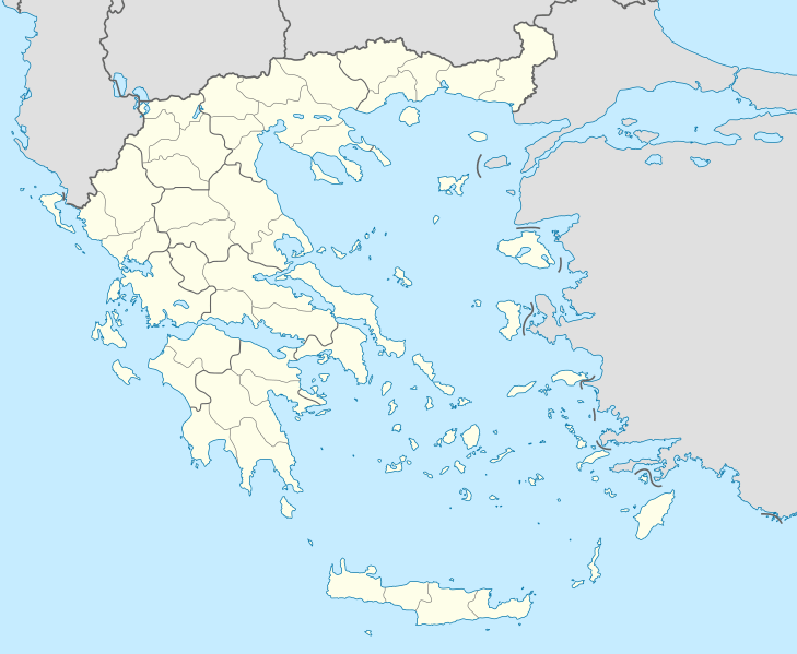
Description: Location map of Greece
Title: Greece location map
Credit: own work, using United States National Imagery and Mapping Agency data
Author: Lencer
Usage Terms: Creative Commons Attribution-Share Alike 3.0
License: CC BY-SA 3.0
License Link: http://creativecommons.org/licenses/by-sa/3.0
Attribution Required?: Yes
Image usage
The following 38 pages link to this image:
- Agios Nikolaos
- Arta
- Britannic
- Chalcis
- Corfu
- Corinth
- Ekali
- Karpenisi
- Kilkis
- Komotini
- Kos
- Kozani
- Litochoro
- Maleme Airport
- Marathon, Greece
- Missolonghi
- Mythimna
- Oiniades
- Olympia, Greece
- Paros
- Patmos
- Patras
- Peristeri
- Pigi Airport
- Piraeus
- Polygyros
- Preveza
- Ptolemaida
- Rhodes (city)
- Samos
- Santorini
- Serifos
- Serres
- Skyros
- Souroti
- Template:Infobox archaeological site
- Template:Infobox archaeological site/doc
- Template:Location map Greece

All content from Kiddle encyclopedia articles (including the article images and facts) can be freely used under Attribution-ShareAlike license, unless stated otherwise.