
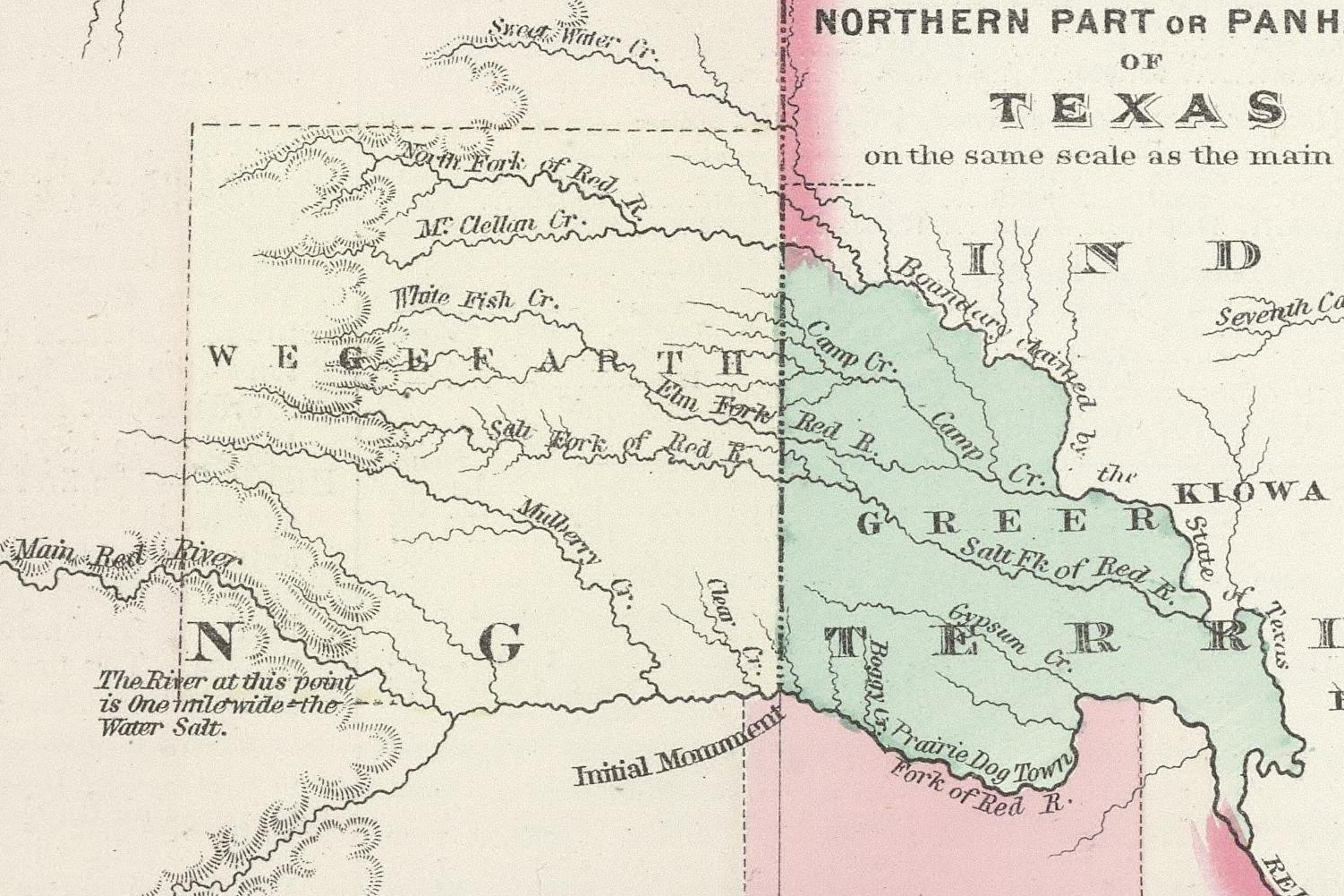
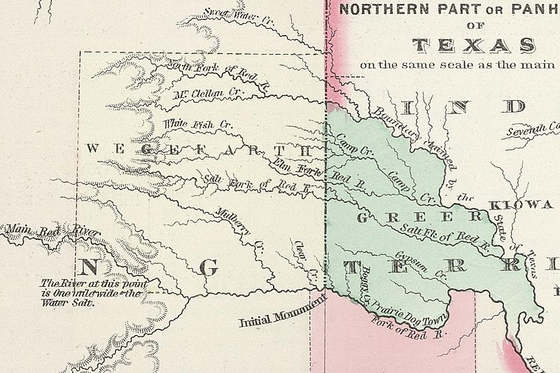
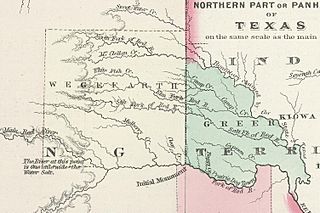
Image: GreerWegefarth
Size of this preview: 800 × 533 pixels. Other resolutions: 320 × 213 pixels | 1,502 × 1,001 pixels.
Original image (1,502 × 1,001 pixels, file size: 1.04 MB, MIME type: image/jpeg)
Description: Map of Greer and Wegefarth counties along the border between Texas and Indian Territory in 1874. The counties were part of a border dispute between Texas and the U.S. Government.
Title: GreerWegefarth
Credit: http://www.davidrumsey.com/luna/servlet/detail/RUMSEY~8~1~210045~5003850:Texas-?sort=Pub_List_No_InitialSort%2CPub_Date%2CPub_List_No%2CSeries_No#
Author: G. W. Colton
Usage Terms: Public domain
License: Public domain
Attribution Required?: No
Image usage
The following 2 pages link to this image:

All content from Kiddle encyclopedia articles (including the article images and facts) can be freely used under Attribution-ShareAlike license, unless stated otherwise.