
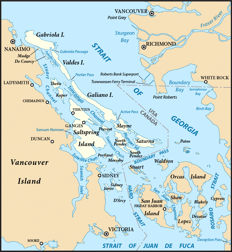
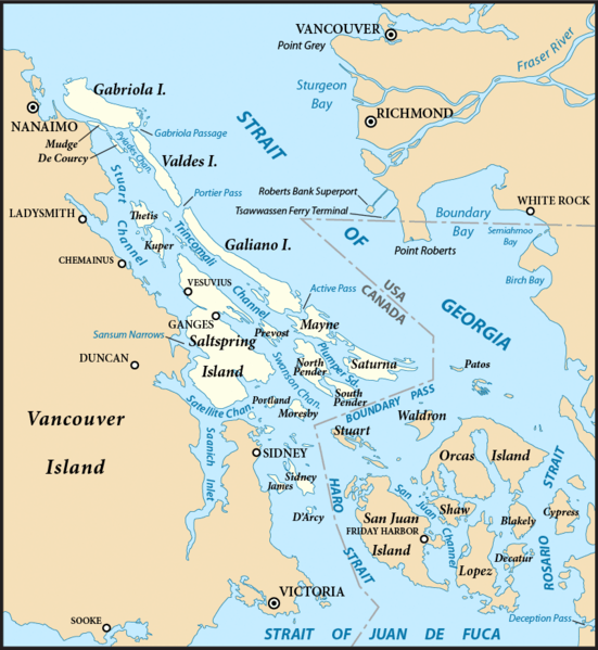
Image: Gulf Islands map 2
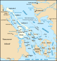
Size of this preview: 551 × 599 pixels. Other resolutions: 221 × 240 pixels | 801 × 871 pixels.
Original image (801 × 871 pixels, file size: 594 KB, MIME type: image/png)
Description: Map of the Gulf Islands (highlighted) and surrounding region, with the US-Canada border. Created with ArcExplorer and Adobe Illustrator. Based on on GeoBase and The National Map data. Map projection: Washington State Plane North (State Plane Coordinate System) Used same base map as with File:San Juan Islands map.png.
Title: Gulf Islands map 2
Credit: Own work
Author: Pfly
Usage Terms: Creative Commons Attribution-Share Alike 3.0
License: CC BY-SA 3.0
License Link: https://creativecommons.org/licenses/by-sa/3.0
Attribution Required?: Yes
Image usage
The following 10 pages link to this image:

All content from Kiddle encyclopedia articles (including the article images and facts) can be freely used under Attribution-ShareAlike license, unless stated otherwise.