
Image: HUC1906
No higher resolution available.
HUC1906.jpg (635 × 437 pixels, file size: 369 KB, MIME type: image/jpeg)
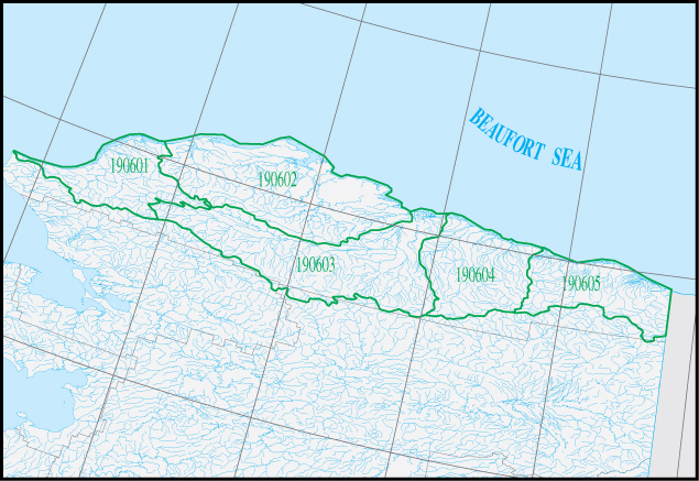
Description: Map of HUC1906 - The coastal drainage within the United States from Point Riou to the Alaksa-British Columbia international boundary, including the bays, islands, sounds, and associated waters.
Title: HUC1906
Credit: https://water.usgs.gov/wsc/sub/1906.jpg
Author: USGS
Usage Terms: Public domain
License: Public domain
Attribution Required?: No
Image usage
The following page links to this image:

All content from Kiddle encyclopedia articles (including the article images and facts) can be freely used under Attribution-ShareAlike license, unless stated otherwise.