
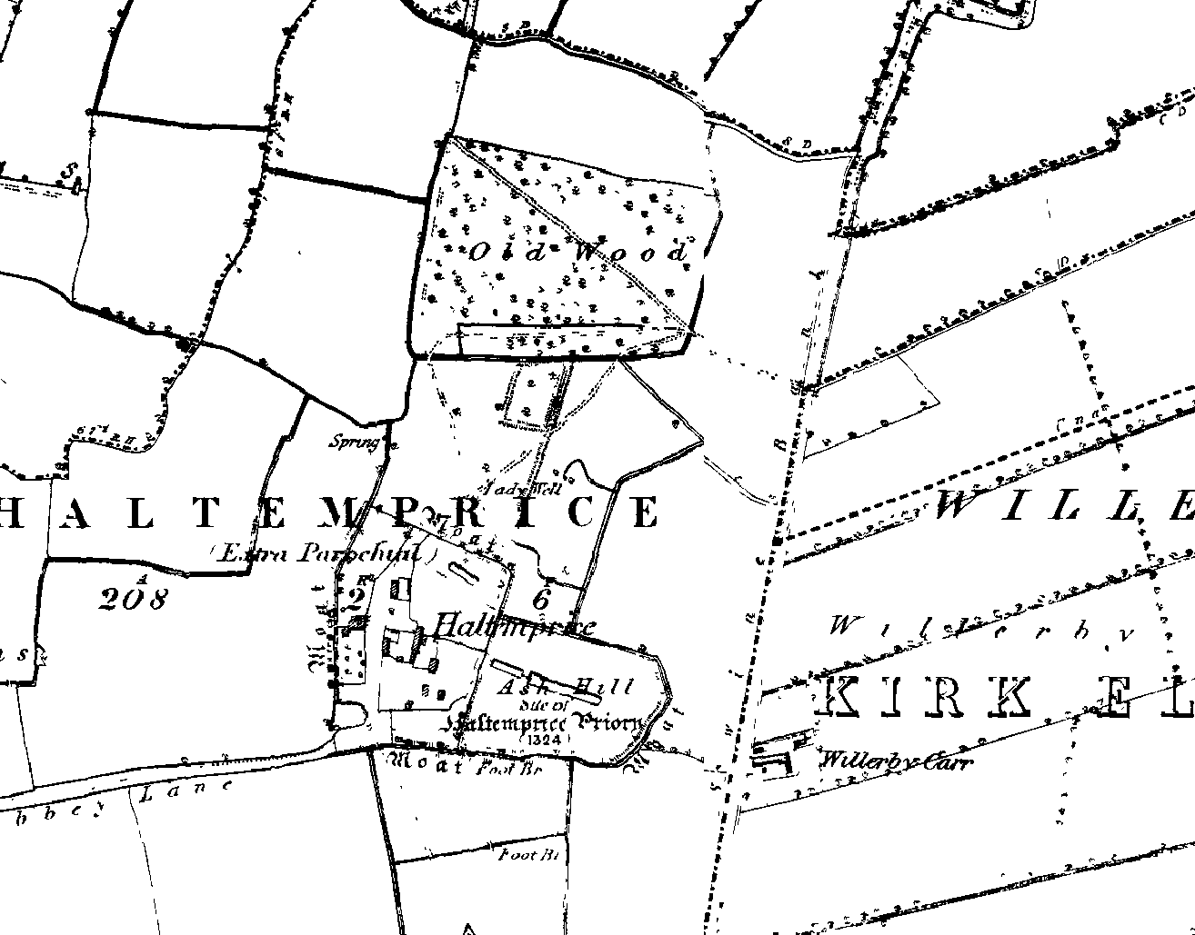
Image: Haltemprice priory os map 1855
Size of this preview: 766 × 600 pixels. Other resolutions: 307 × 240 pixels | 1,314 × 1,029 pixels.
Original image (1,314 × 1,029 pixels, file size: 56 KB, MIME type: image/png)
Description: Image produced from the www.old-maps.co.uk service with permission of Landmark Information Group Ltd. and Ordnance Survey An 1855 Ordnance Survey map showing the location of the Haltemprice Priory site. Note the location of the priory moats and long rectangular ponds.
Title: Haltemprice priory os map 1855
Credit: Transferred from en.wikipedia to Commons by Kurpfalzbilder.de using CommonsHelper.
Author: The original uploader was Leftcase at English Wikipedia.
Usage Terms: Public domain
License: Public domain
Attribution Required?: No
Image usage
The following page links to this image:

All content from Kiddle encyclopedia articles (including the article images and facts) can be freely used under Attribution-ShareAlike license, unless stated otherwise.