
Image: Hampshire UK location map

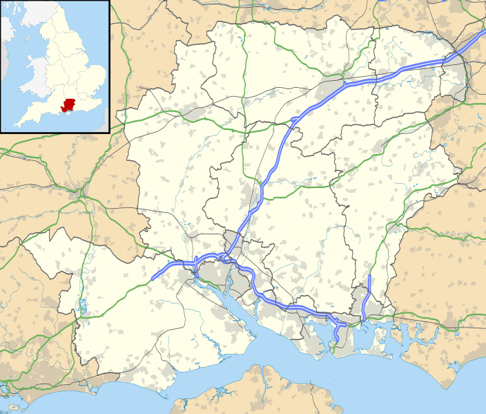
Description: Map of Hampshire, UK with the following information shown: Administrative borders Coastline, lakes and rivers Roads and railways Urban areas Equirectangular map projection on WGS 84 datum, with N/S stretched 155% Geographic limits: West: 2.01W East: 0.68W North: 51.41N South: 50.68N
Title: Hampshire UK location map
Credit: Ordnance Survey OpenData. Administrative borders and coastline data from Boundary-Line product. All other geographic data from Meridian 2 product. Inset derived from England location map.svg by Spischot.
Author: Nilfanion, created using Ordnance Survey data
Permission: This file is licensed under the Creative Commons Attribution-Share Alike 3.0 Unported license. Attribution: Contains Ordnance Survey data © Crown copyright and database right You are free: to share – to copy, distribute and transmit the work to remix – to adapt the work Under the following conditions: attribution – You must attribute the work in the manner specified by the author or licensor (but not in any way that suggests that they endorse you or your use of the work). share alike – If you alter, transform, or build upon this work, you may distribute the resulting work only under the same or similar license to this one. http://creativecommons.org/licenses/by-sa/3.0 CC BY-SA 3.0 Creative Commons Attribution-Share Alike 3.0 truetrue
Usage Terms: Creative Commons Attribution-Share Alike 3.0
License: CC BY-SA 3.0
License Link: http://creativecommons.org/licenses/by-sa/3.0
Attribution Required?: Yes
Image usage
The following 98 pages link to this image:
- Aldershot
- All Saints' Church, Fawley
- Alton, Hampshire
- Andover, Hampshire
- Andover War Memorial Hospital
- Bar End
- Basingstoke
- Beaulieu, Hampshire
- Bishop's Waltham
- Bordon
- Bordon and Longmoor Military Camps
- Bramley, Hampshire
- Buckland Rings
- Buckler's Hard
- Calleva Atrebatum
- Calshot Castle
- Chandler's Ford
- Chawton
- Church of St Lawrence, Alton
- Cosham
- Cowes Castle
- Danebury
- Eastleigh
- Emsworth
- Fareham
- Farlington, Hampshire
- Farnborough, Hampshire
- Fleet, Hampshire
- Fordingbridge
- Fort Gomer
- Fort Southwick
- Forton Barracks
- Fowley Island
- Frankenbury Camp
- Fratton
- Gorley Hill
- Gull Island (Hampshire)
- HMNB Portsmouth
- Hamble Common Camp
- Havant
- Hayling Island
- Hedge End
- Horse Sand Fort
- Hursley
- Hurst Castle
- Hurst Point Lighthouse
- Hurst Spit
- Idsworth
- Knoll Camp
- Linbrook Lake
- Lockerley Camp
- Lymington
- Marlborough Lines
- Martin Down Enclosure
- Milton, Portsmouth
- Netley Castle
- New Alresford
- New Milton
- Norsebury Ring
- Nursling
- Petersfield
- Portchester Castle
- Portsea Island
- Quarley Hill
- RAF Andover
- RAF Flowerdown
- Ringwood
- Romsey
- Rowland's Castle
- Royal Garrison Church, Aldershot
- Sinah, Hayling Island
- South Baddesley
- Southampton town walls
- Southsea
- Southsea Castle
- Southwick, Hampshire
- Spitbank Fort
- St Andrew's Castle, Hamble
- St Michael's Abbey, Farnborough
- St Nicolas Church, North Stoneham
- Stanhope Road drill hall, Portsmouth
- Sway, Hampshire
- Tadley
- Tidbury Ring
- Toothill Fort
- Totton and Eling
- Upham, Hampshire
- Warblington Castle
- Whale Island, Hampshire
- Whitchurch, Hampshire
- Whitehill, Hampshire
- Whitsbury Castle
- Wickham
- Wickham, Hampshire
- Winchester
- Woolbury
- Yateley
- Template:Location map United Kingdom Hampshire
