
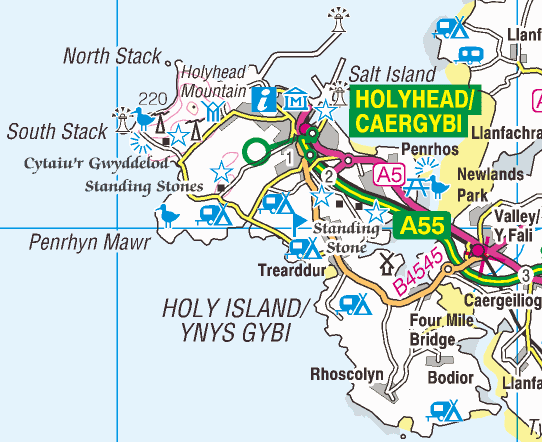
Image: Holy Island, Anglesey 1-250,000 OS map 2010
No higher resolution available.
Holy_Island,_Anglesey_1-250,000_OS_map_2010.png (542 × 442 pixels, file size: 236 KB, MIME type: image/png)
Description: 1:250,000 scale Ordnance Survey map showing w:Holy Island, Anglesey, w:Wales.
Title: Holy Island, Anglesey 1-250,000 OS map 2010
Credit: OS OpenData
Author: w:Ordnance Survey
Permission: OS OpenData Licence Required attribution: Contains Ordnance Survey data © Crown copyright and database right 2010
Usage Terms: Ordnance Survey OpenData Licence
License: OS OpenData
License Link: https://www.ordnancesurvey.co.uk/business-and-government/licensing/using-creating-data-with-os-products/os-opendata.html
Attribution Required?: Yes
Image usage
The following page links to this image:

All content from Kiddle encyclopedia articles (including the article images and facts) can be freely used under Attribution-ShareAlike license, unless stated otherwise.