
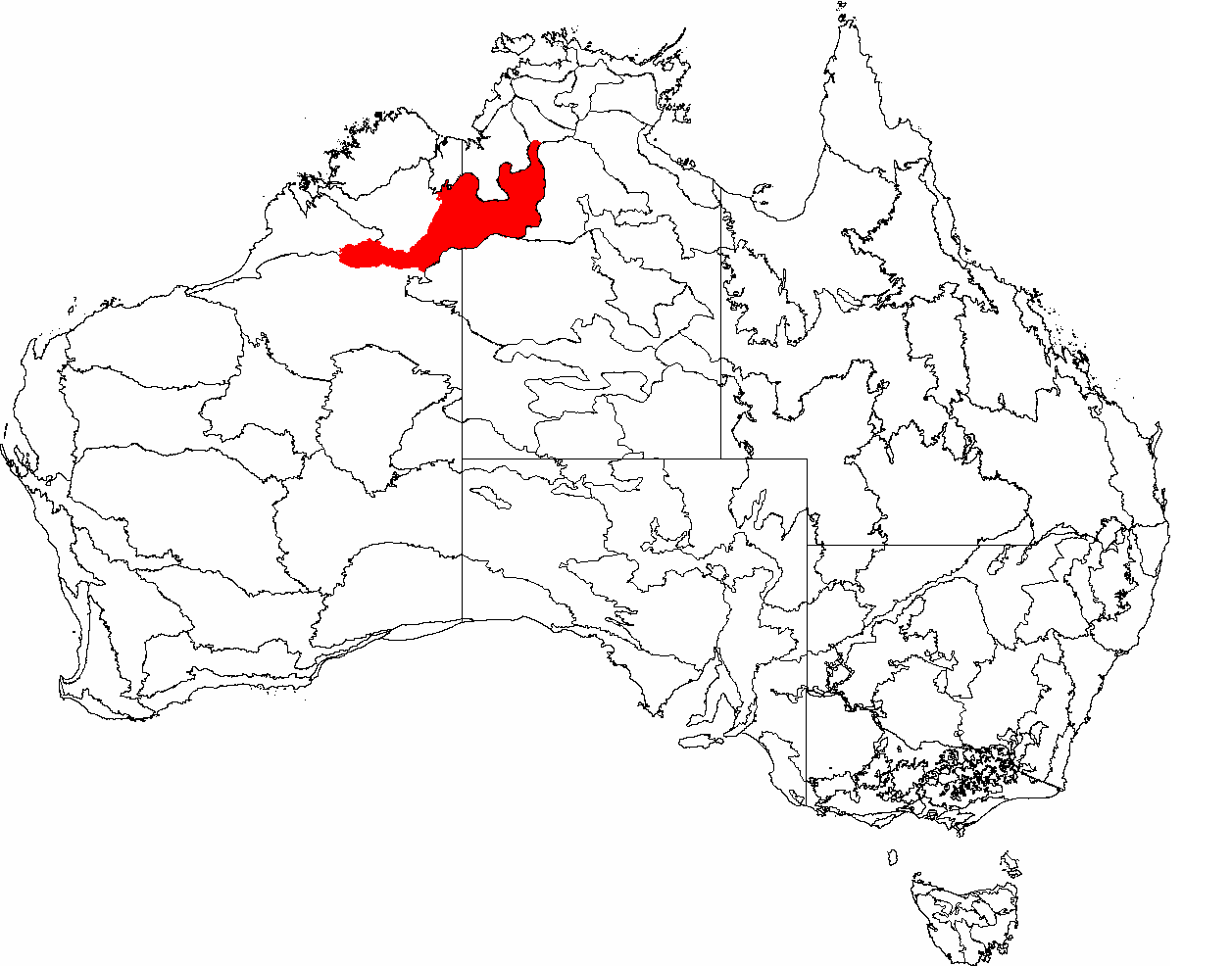
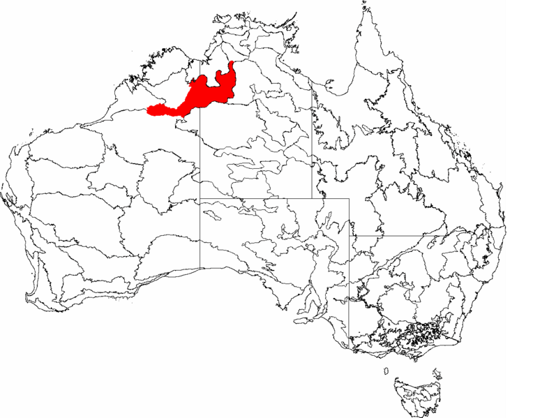
Image: IBRA 6.1 Ord-Victoria Plains
Size of this preview: 764 × 599 pixels. Other resolutions: 306 × 240 pixels | 1,257 × 986 pixels.
Original image (1,257 × 986 pixels, file size: 83 KB, MIME type: image/png)
Description: This is a map of the Interim Biogeographic Regionalisation of Australia (IBRA), with state boundaries overlaid. The Ord-Victoria Plains region is shown in red.
Title: IBRA 6.1 Ord-Victoria Plains
Credit: It was created by the uploader.
Author: Hesperian
Permission: You may select the license of your choice.
Usage Terms: Creative Commons Attribution-Share Alike 3.0
License: CC-BY-SA-3.0
License Link: http://creativecommons.org/licenses/by-sa/3.0/
Attribution Required?: Yes
Image usage
The following page links to this image:

All content from Kiddle encyclopedia articles (including the article images and facts) can be freely used under Attribution-ShareAlike license, unless stated otherwise.