
Image: ISS orbits 04132013
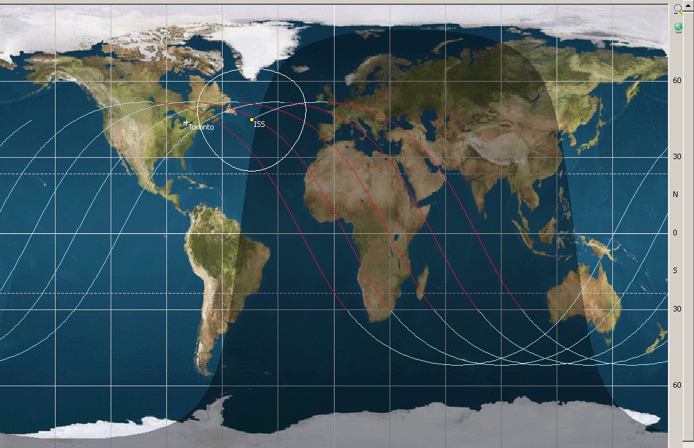
Description: Map showing the orbits of the International Space Station, with Toronto, Canada as the "home" location for tracking. Made 17:30 EST on 04-13-2013 (showing Canada/USA in the daylight). The ISS was over the North Atlantic Ocean in this image. PreviSat is released under the GNU GPL license version 3. The map is the generic public domain map from NASA so many of these tracking programs use... Cropped to show lattitude lines at the right of the image.
Title: ISS orbits 04132013
Credit: Self-made using PreviSat program, http://astropedia.free.fr/
Author: self-made by the uploader
Permission: portions of the program shown: This work is free software; you can redistribute it and/or modify it under the terms of the GNU General Public License as published by the Free Software Foundation; version 3. This work is distributed in the hope that it will be useful, but WITHOUT ANY WARRANTY; without even the implied warranty of MERCHANTABILITY or FITNESS FOR A PARTICULAR PURPOSE. See the version 3 of the GNU General Public License for more details. GNU General Public License v3GPLv3http://www.gnu.org/licenses/gpl-3.0.htmltrue
Usage Terms: GNU General Public License v3
License: GPLv3
License Link: http://www.gnu.org/licenses/gpl-3.0.html
Attribution Required?: Yes
Image usage
The following page links to this image:
