
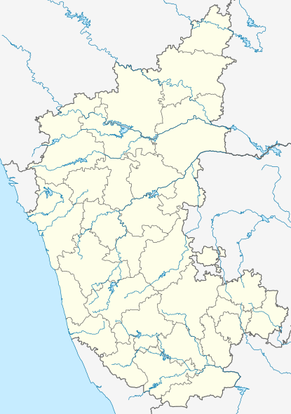
Image: India Karnataka location map

Size of this PNG preview of this SVG file: 415 × 600 pixels. Other resolution: 166 × 240 pixels.
Original image (SVG file, nominally 1,630 × 2,356 pixels, file size: 207 KB)
Description: Location map of Karnataka Geographic limits of the map: 18.45°N 11.48°N 73.66°E 78.62°E
Title: India Karnataka location map
Credit: Karnataka_locator_map.svg, Census India
Author: Karnataka_locator_map.svg: by User:Planemad derivative work: User:Nayvik
Usage Terms: Creative Commons Attribution-Share Alike 3.0
License: CC BY-SA 3.0
License Link: http://creativecommons.org/licenses/by-sa/3.0
Attribution Required?: Yes
Image usage
The following 12 pages link to this image:

All content from Kiddle encyclopedia articles (including the article images and facts) can be freely used under Attribution-ShareAlike license, unless stated otherwise.