
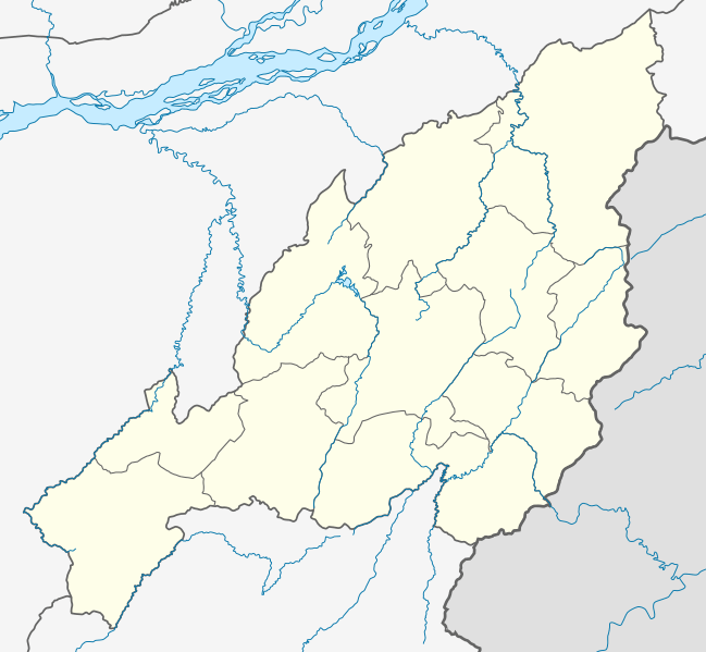
Image: India Nagaland location map

Size of this PNG preview of this SVG file: 649 × 599 pixels. Other resolution: 260 × 240 pixels.
Original image (SVG file, nominally 889 × 821 pixels, file size: 267 KB)
Description: Location map of Nagaland Geographic limits of the map: 27.069°N 25.130°N 93.263°E 95.361°E
Title: India Nagaland location map
Credit: Nagaland_locator_map.svg
Author: Nagaland_locator_map.svg: by User:Planemad derivative work: User:Milenioscuro
Usage Terms: Creative Commons Attribution-Share Alike 3.0
License: CC BY-SA 3.0
License Link: https://creativecommons.org/licenses/by-sa/3.0
Attribution Required?: Yes
Image usage
The following page links to this image:

All content from Kiddle encyclopedia articles (including the article images and facts) can be freely used under Attribution-ShareAlike license, unless stated otherwise.