
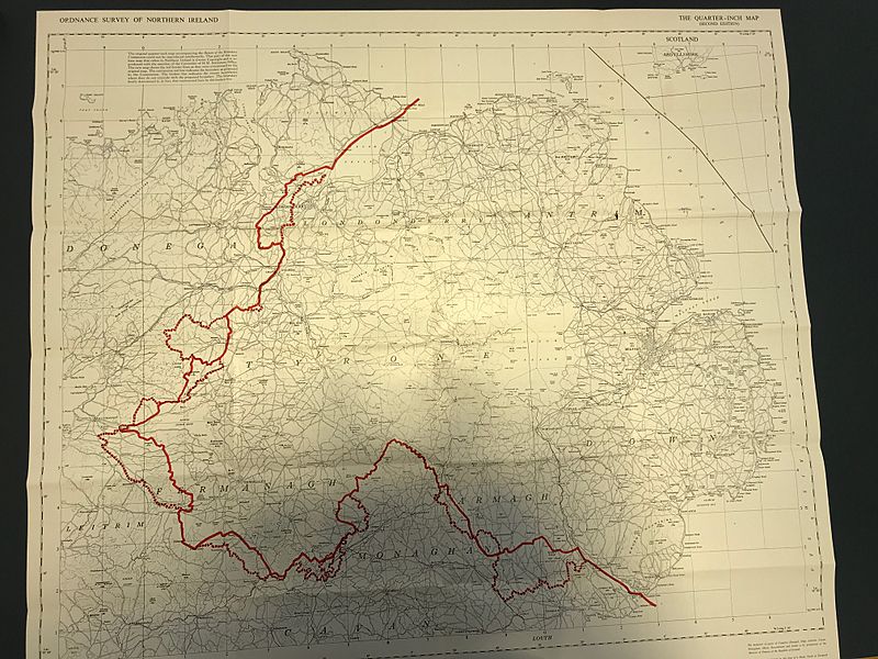
Image: Irish Boundary Commission - final map

Size of this preview: 800 × 600 pixels. Other resolutions: 320 × 240 pixels | 2,016 × 1,512 pixels.
Original image (2,016 × 1,512 pixels, file size: 1,016 KB, MIME type: image/jpeg)
Description: Irish Boundary Commission - final map
Title: Irish Boundary Commission - final map
Credit: https://discovery.nationalarchives.gov.uk/details/r/C386829
Author: Irish Boundary Commission
Usage Terms: Public domain
License: PD
Attribution Required?: No
Image usage
The following 2 pages link to this image:

All content from Kiddle encyclopedia articles (including the article images and facts) can be freely used under Attribution-ShareAlike license, unless stated otherwise.