
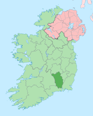
Image: Island of Ireland location map Kilkenny

Description: The island of Ireland, showing international border between Ireland and Northern Ireland, traditional provinces, traditional counties, and local authority areas in Ireland and Northern Ireland.
Title: Island of Ireland location map Kilkenny
Credit: Island_of_Ireland_location_map.svg
Author: Island_of_Ireland_location_map.svg: *Ireland_location_map.svg: NordNordWest Northern_Ireland_location_map.svg: NordNordWest Northern_Ireland_-_Counties.png: Maximilian Dörrbecker (Chumwa) derivative work: Rannpháirtí anaithnid (talk) derivative work: Mabuska (talk)
Usage Terms: Creative Commons Attribution-Share Alike 3.0
License: CC BY-SA 3.0
License Link: http://creativecommons.org/licenses/by-sa/3.0
Attribution Required?: Yes
Image usage
The following 2 pages link to this image:
