
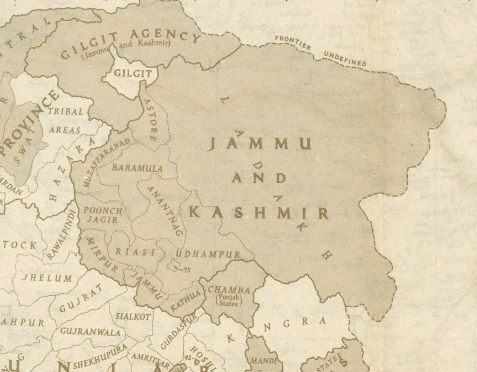
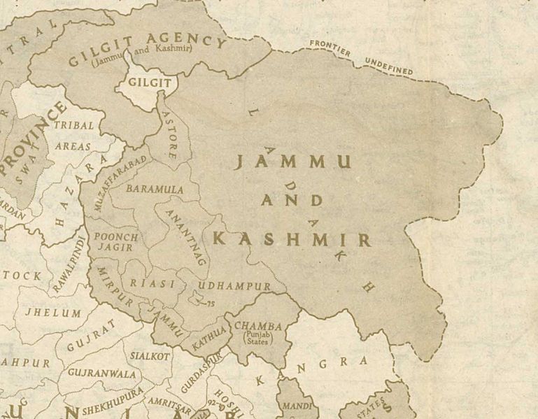
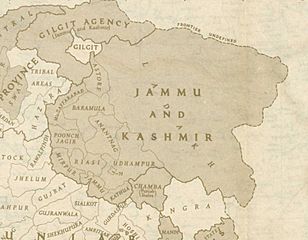
Image: Jammu and Kashmir in 1946 map of India by National Geographic
Size of this preview: 769 × 599 pixels. Other resolutions: 308 × 240 pixels | 1,551 × 1,209 pixels.
Original image (1,551 × 1,209 pixels, file size: 429 KB, MIME type: image/jpeg)
Description: This is one of the last few maps of Jammu and Kashmir produced during the British Raj, just before the independence of India and Pakistan
Title: Jammu and Kashmir in 1946 map of India by National Geographic
Credit: http://pahar.in/wpfb-file/1946-political-subdivisions-of-india-by-national-geographic-jpg/
Author: National Geographic
Usage Terms: Public domain
License: Public domain
Attribution Required?: No
Image usage
The following 4 pages link to this image:

All content from Kiddle encyclopedia articles (including the article images and facts) can be freely used under Attribution-ShareAlike license, unless stated otherwise.