
Image: Jefferson territory
Size of this preview: 800 × 517 pixels. Other resolutions: 320 × 207 pixels | 974 × 630 pixels.
Original image (974 × 630 pixels, file size: 73 KB, MIME type: image/png)
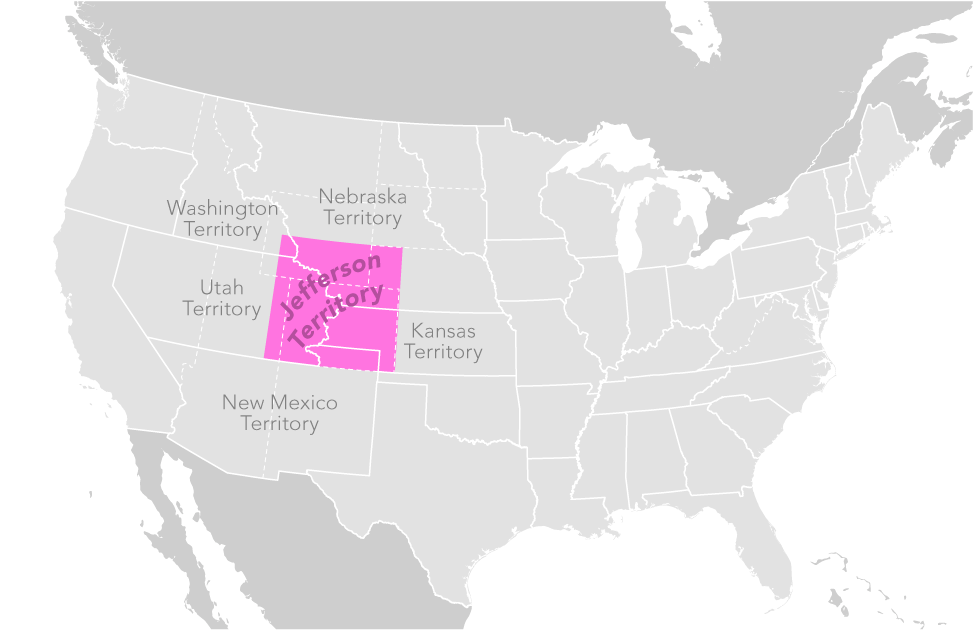
Description: hypothetical map of Jefferson Territory extending west of the Continental Divide of the Americas.
Title: Jefferson territory
Credit: none, notional geography by author
Author: Own work by Citynoise (talk) (Original text: self-made)
Permission: This work has been released into the public domain by its author, Citynoise. This applies worldwide. In some countries this may not be legally possible; if so: Citynoise grants anyone the right to use this work for any purpose, without any conditions, unless such conditions are required by law.
Usage Terms: Public domain
License: Public domain
Attribution Required?: No
Image usage
The following 2 pages link to this image:

All content from Kiddle encyclopedia articles (including the article images and facts) can be freely used under Attribution-ShareAlike license, unless stated otherwise.