
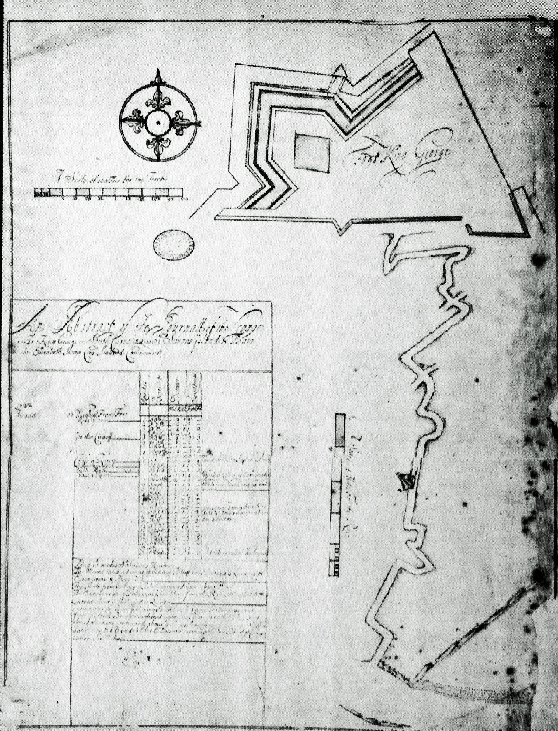
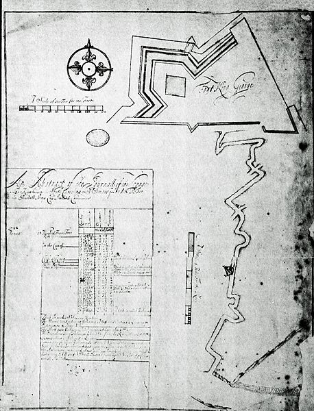
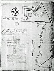
Image: John Barnwells Route to SSI with River Info
Size of this preview: 458 × 600 pixels. Other resolutions: 183 × 240 pixels | 794 × 1,040 pixels.
Original image (794 × 1,040 pixels, file size: 668 KB, MIME type: image/jpeg)
Description: Capt. Stollard's 1722 plan of Fort King George and part of the river to St. Simons Island and Barr. An inset details reaches, bearings, distances, and surroundings, together with sailing directions from point to point
Title: John Barnwells Route to SSI with River Info
Credit: Ga. Dept. of Archives
Author: Capt. John Stoddard, Col. John Barnwell
Usage Terms: Public domain
License: Public domain
Attribution Required?: No
Image usage
The following page links to this image:

All content from Kiddle encyclopedia articles (including the article images and facts) can be freely used under Attribution-ShareAlike license, unless stated otherwise.