
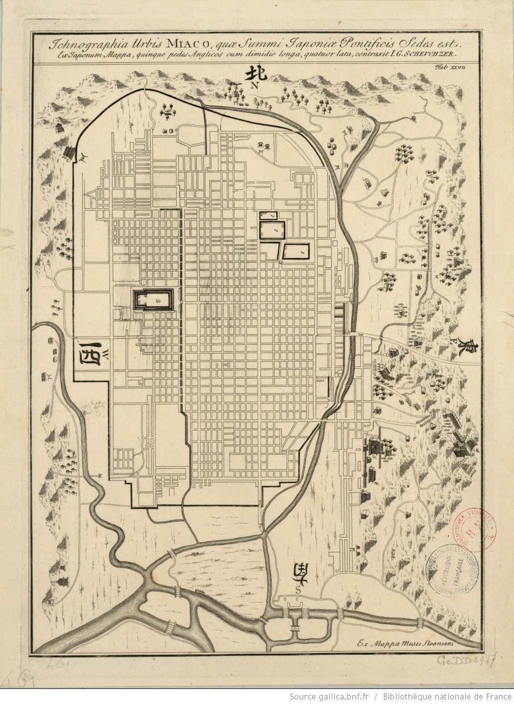
Image: John Gaspar Scheuchzer - Ichnographia urbis Miaco - Historical map of Kyoto - 18th century
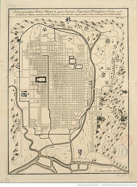
Size of this preview: 437 × 599 pixels. Other resolutions: 175 × 240 pixels | 1,024 × 1,403 pixels.
Original image (1,024 × 1,403 pixels, file size: 454 KB, MIME type: image/jpeg)
Description: Historical map of Kyoto. 18th century. 46 x 34,5 cm.
Title: John Gaspar Scheuchzer - Ichnographia urbis Miaco - Historical map of Kyoto - 18th century
Credit: Ichnographia urbis Miaco, quae summi japoniae pontificis sedes est, ex japonum mappa, quinque pedes anglicos cum dimidio longa, quatuor lata, ex mappa musei Sloaniani / contraxit I.G. Scheuchzer Bibliothèque nationale de France
Author: Scheuchzer, John Gaspar (1702-1729). Cartographer
Usage Terms: Public domain
License: Public domain
Attribution Required?: No
Image usage
There are no pages that link to this image.

All content from Kiddle encyclopedia articles (including the article images and facts) can be freely used under Attribution-ShareAlike license, unless stated otherwise.