
Image: KatamaBreach2007
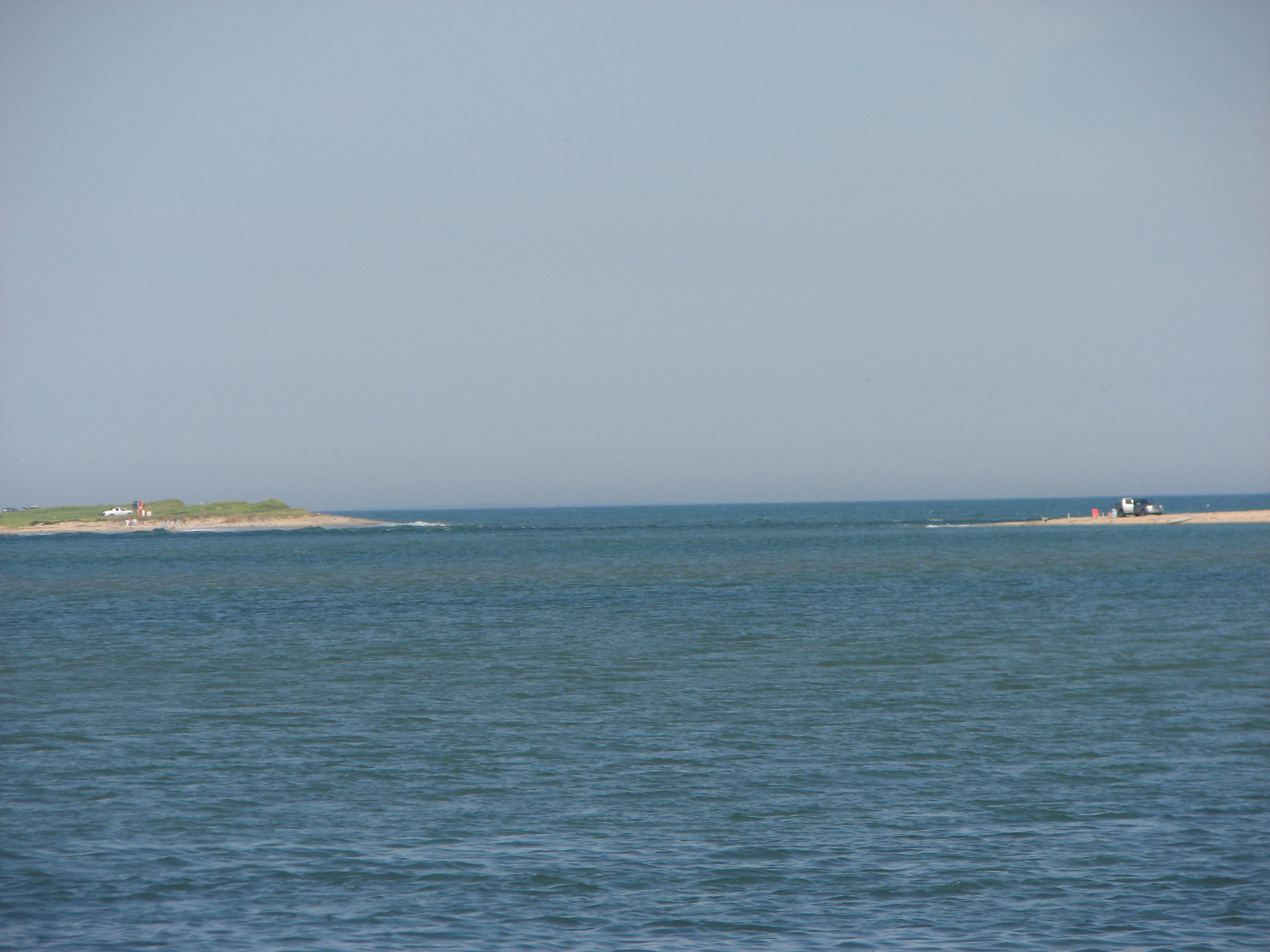
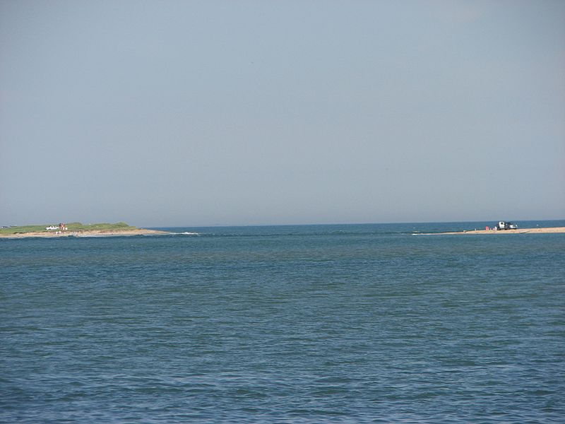
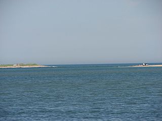
Description: Photo of the "Katama Breach". During the winter of 2006-2007 a violent storm (a "Noreaster" washed away the barrier beach separating the Katama section of Edgartown, MA from Chappaquidick Island. This photo was taken from the southwestern portion of Katama Bay at a point half-way between the Katama boat ramp and the breach. It clearly shows open water between the two ends of the barrier beach. As in previous breaches, over the succeeding two years (2007-2009), the breach migrated in an easterly direction and by the summer of 2009 the opening was significantly smaller than shown in this photo. The breach opened Katama Bay, normally open only to the sea at its north end, to an ocean current. The cleansing of the bay has been beneficial and eliminated much of the silt and grasses that had accumulated. It is anticipated the cleansing will improve scallop and clam production.
Title: KatamaBreach2007
Credit: Own work
Author: Rfgagel
Usage Terms: Public domain
License: Public domain
Attribution Required?: No
Image usage
The following page links to this image:
