
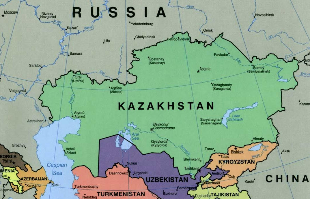
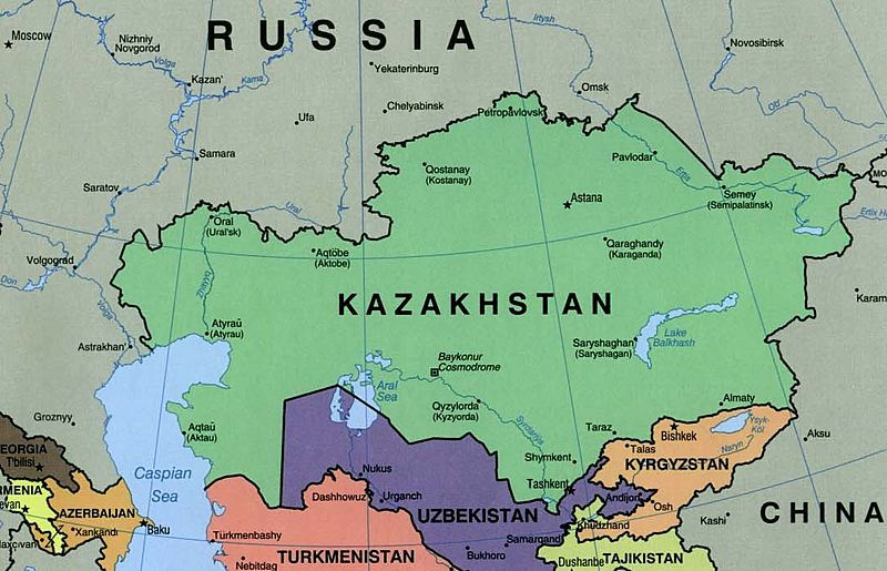
Image: Kazakhstan political map 2000
Size of this preview: 800 × 515 pixels. Other resolutions: 320 × 206 pixels | 1,074 × 691 pixels.
Original image (1,074 × 691 pixels, file size: 384 KB, MIME type: image/jpeg)
Description: Kazakhstan Political Map 2000
Title: Kazakhstan political map 2000
Credit: University of Texas Libraries, Perry-Castañeda Library Map Collection: Kazakhstan maps. Extracted from "The Caucasus and Central Asia Political Map 2000" This image is a copy or a derivative work of caucasus_cntrl_asia_pol_00.jpg, from the map collection of the Perry-Castañeda Library (PCL) of the University of Texas at Austin. This tag does not indicate the copyright status of the attached work. A normal copyright tag is still required. See Commons:Licensing for more information.
Author: U.S. Central Intelligence Agency
Usage Terms: Public domain
License: Public domain
Attribution Required?: No
Image usage
There are no pages that link to this image.

All content from Kiddle encyclopedia articles (including the article images and facts) can be freely used under Attribution-ShareAlike license, unless stated otherwise.