
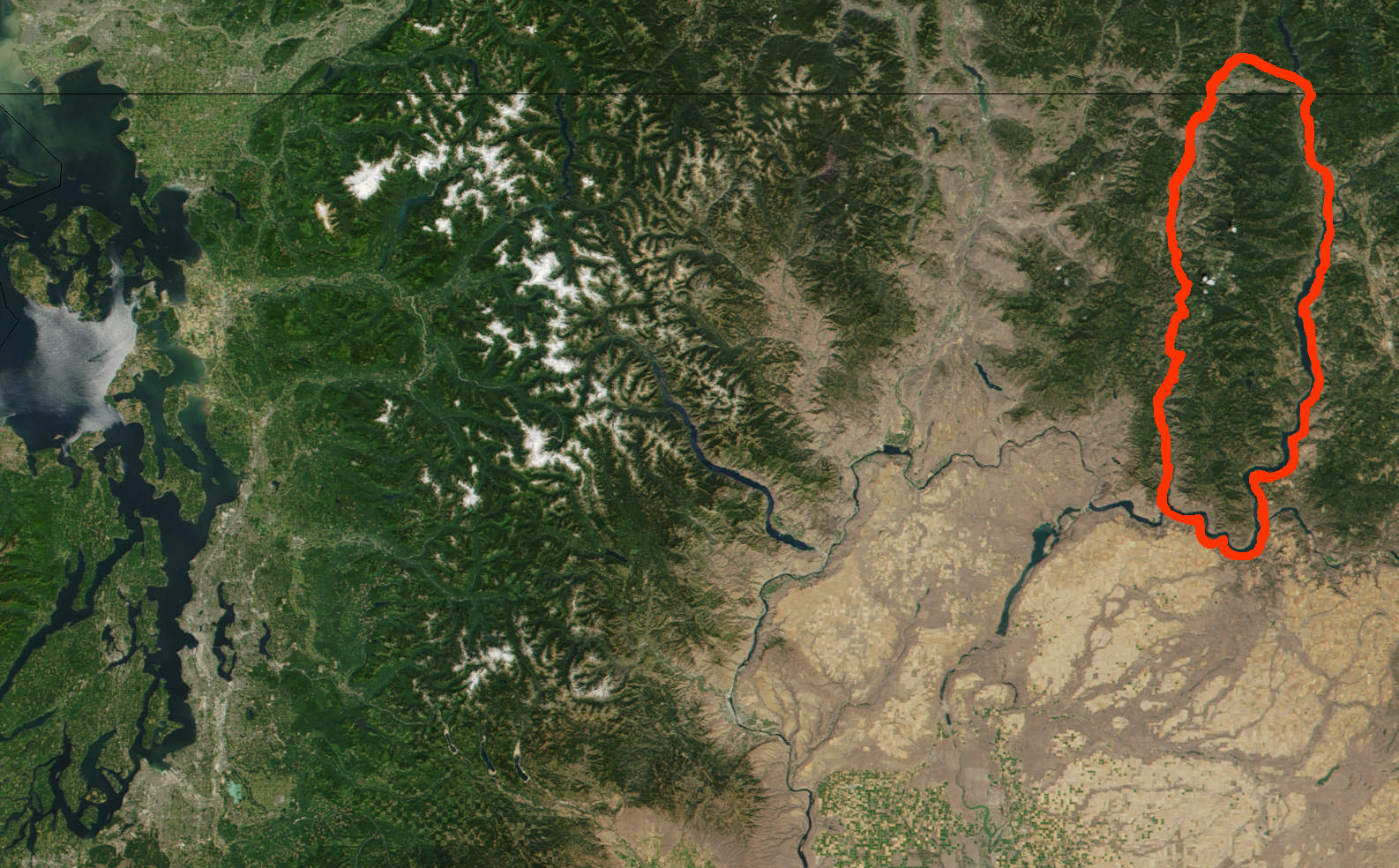
Image: Kettle-River-Range NASA-MODIS 11Aug2001
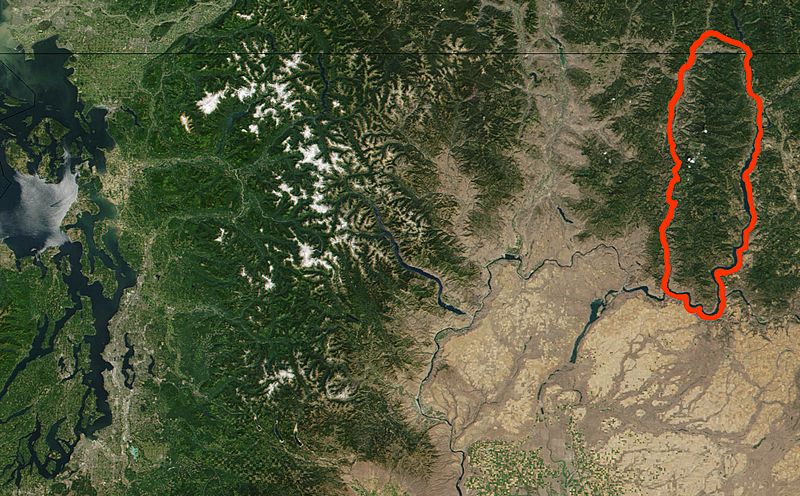
Size of this preview: 800 × 496 pixels. Other resolutions: 320 × 199 pixels | 1,586 × 984 pixels.
Original image (1,586 × 984 pixels, file size: 874 KB, MIME type: image/jpeg)
Description: Kettle River Range (outined in red) and north central Washington State (USA), and southern edge of British Columbia (Canada), from cropped and modified NASA True Color MODIS satellite photograph image from NASA Visible Earth Collection. Original Image: Washington.A2001223.1920.250m.jpg (3600x4800)
Title: Kettle-River-Range NASA-MODIS 11Aug2001
Credit: http://visibleearth.nasa.gov/view.php?id=56573
Author: NASA Visible Earth, original credit: Jacques Descloitres, MODIS Land Rapid Response Team
Permission: Public domain
Usage Terms: Public domain
License: Public domain
Attribution Required?: No
Image usage
The following page links to this image:

All content from Kiddle encyclopedia articles (including the article images and facts) can be freely used under Attribution-ShareAlike license, unless stated otherwise.