
Image: Keymer Road - geograph.org.uk - 684404
No higher resolution available.
Keymer_Road_-_geograph.org.uk_-_684404.jpg (640 × 479 pixels, file size: 104 KB, MIME type: image/jpeg)
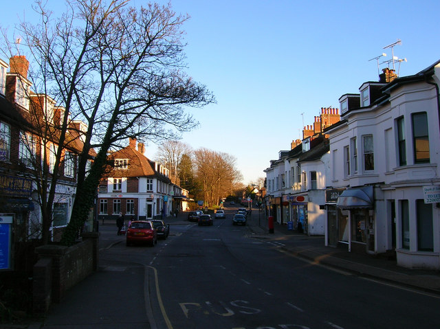
Description: Keymer Road The B2116 through the village of Hassocks. It is reasonably well served with small shops and branches of the major banks befitting its commuter status. To the left is northern wall of Spitalfield Bridge built over Herrings Stream in 1817 long before the village actually existed.
Author: Simon Carey
Usage Terms: Creative Commons Attribution-Share Alike 3.0
License: CC-BY-SA-3.0
License Link: http://creativecommons.org/licenses/by-sa/3.0/
Attribution Required?: Yes
Image usage
There are no pages that link to this image.

All content from Kiddle encyclopedia articles (including the article images and facts) can be freely used under Attribution-ShareAlike license, unless stated otherwise.