
Image: KingdomofSardinia1815
Size of this preview: 800 × 455 pixels. Other resolutions: 320 × 182 pixels | 896 × 510 pixels.
Original image (896 × 510 pixels, file size: 30 KB, MIME type: image/png)
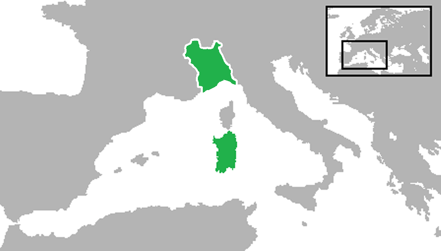
Description: Locator map showing the Kingdom of Sardinia in the year 1815. (Partially based on Euratlas map of Europe - 1800.)
Title: KingdomofSardinia1815
Credit: Own work (Updated based on Charles Desilver's public domain 1856 map here)
Author: Gabagool
Usage Terms: Creative Commons Attribution 3.0
License: CC BY 3.0
License Link: http://creativecommons.org/licenses/by/3.0
Attribution Required?: Yes
Image usage
There are no pages that link to this image.

All content from Kiddle encyclopedia articles (including the article images and facts) can be freely used under Attribution-ShareAlike license, unless stated otherwise.