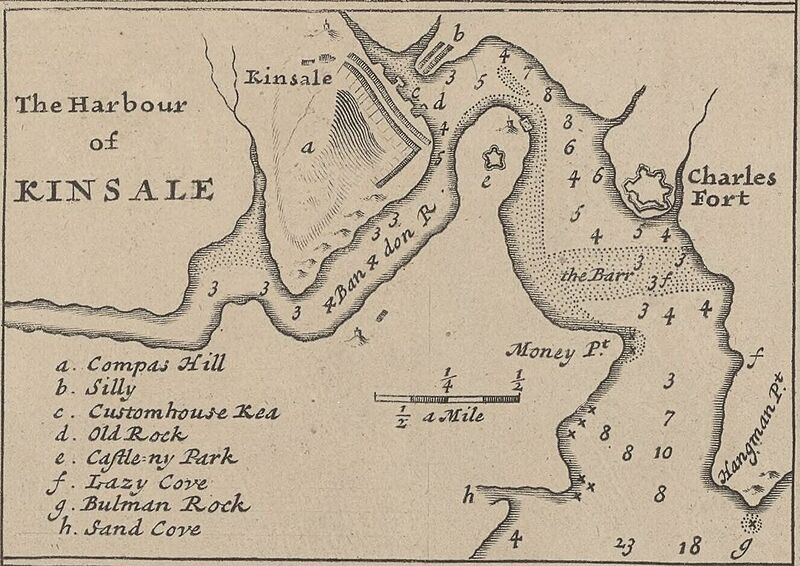
Image: Kinsale 1714 (Moll)

Description: A detail map of Kinsale c. 1714 from Moll's "A New Map of Ireland Divided into Its Provinces, Counties and Baronies...", sold separately or as part of The World Described... as p. 19. Notes: Printed for H. Moll over against Devereux Court in ye Strand, I. Bowles at the Black Horse in Cornhill, P. Overton Map & Printseller near St. Dunstans Church Fleetstreet, and T. Bowles Print & Mapseller next to the Chapter house in St. Pauls Church Yard. And by I. King Map and Printseller at the Globe in the Poultry.
Title: The Harbour of Kinsale
Credit: Bibliothèque nationale de France
Author: Herman Moll
Permission: This image from the Bibliothèque nationale de France (BnF) is a reproduction by scanning of a bidimensional work that is now in the public domain (). For this reason, it is in the public domain. This image can also be seen on Gallica: Image btv1b53057272q.
Usage Terms: Public domain
License: Public domain
Attribution Required?: No
Image usage
The following page links to this image:

