
Image: La2-demis-caribbean
Size of this preview: 800 × 504 pixels. Other resolutions: 320 × 201 pixels | 891 × 561 pixels.
Original image (891 × 561 pixels, file size: 149 KB, MIME type: image/png)
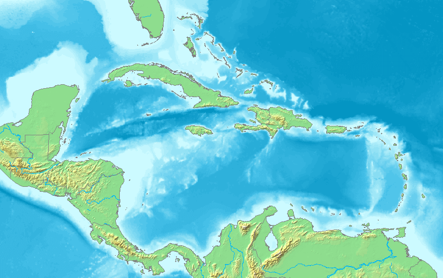
Description: Map of the Caribbean and Central America. Bounding box West -93°, South 7°, East -58°, North 28°. Center at 17°30′00″N 75°30′00″W / 17.50000°N 75.50000°W / 17.50000; -75.50000.
Title: La2-demis-caribbean
Credit: Demis map server
Author: Demis map server
Usage Terms: Public domain
License: Public domain
Attribution Required?: No
Image usage
More than 100 pages link to this image. The following list shows the first 100 page links to this image only. A full list is available.
- Anegada Passage
- Anguilla Channel
- Archer Key
- Ballast Key
- Barracouta Key
- Big Coppitt Key
- Big Mullet Key
- Big Torch Key
- Boca Chica Key
- Boca Grande Key
- Boot Key
- Cayo Batata
- Cayo Icacos
- Cayo Luis Peña
- Cayo Norte
- Cayo Santiago
- Cayos de Caña Gorda
- Coconut Island (Florida)
- Cottrell Key
- Craig Key
- Crawfish Key
- Crawl Key
- Culebrita
- Desecheo Island
- Dismal Key
- Duck Key
- East Rockland Key
- Estero Island
- Fat Deer Key
- Fiesta Key
- Fleming Key
- Galt Island (Florida)
- Gasparilla Island
- Geiger Key
- Grassy Key
- Isla Cardona
- Isla Palomino
- Isla de Cabras
- Isla de Jueyes
- Isla de Ratones (Cabo Rojo, Puerto Rico)
- Isla de Ratones (Ponce, Puerto Rico)
- Isla del Frío
- Joe Ingram Key
- Keewaydin Island
- Key Largo
- Key Vaca
- Knights Key
- Knockemdown Key
- Lido Key
- Lignumvitae Key
- Little Conch Key
- Little Crawl Key
- Little Duck Key
- Little Gasparilla Island
- Little Mullet Key
- Little Torch Key
- Lois Key
- Long Key
- Long Point Key
- Lower Matecumbe Key
- Man Key
- Melody Key
- Middle Torch Key
- Missouri Key
- Molasses Keys
- Money Key
- Monito Island
- Morrillito
- Mule Key
- No Name Key
- North Captiva Island
- Ohio Key
- Palm Key
- Park Key
- Pine Island (Lee County, Florida)
- Plantation Key
- Ramrod Key
- Rattlesnake Key (Tampa Bay)
- Redonda
- Rockland Key
- Saddlebunch Keys
- Saint Croix
- Saint John, U.S. Virgin Islands
- Saint Thomas, U.S. Virgin Islands
- Saint Vincent (island)
- Scout Key
- Shark Key
- Sigsbee Park
- Snead Island
- Spanish Harbor Key
- Spanish Virgin Islands
- Stock Island
- Straits of Florida
- Sugarloaf Key
- Sunset Key
- Tea Table Key
- Thatch Cay, U.S. Virgin Islands
- Upper Matecumbe Key
- Upper Sugarloaf Key
- Windley Key

All content from Kiddle encyclopedia articles (including the article images and facts) can be freely used under Attribution-ShareAlike license, unless stated otherwise.