
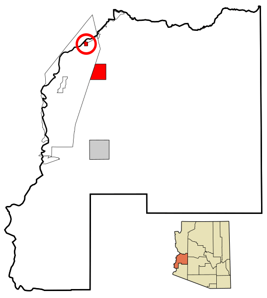
Image: La Paz County Incorporated and Unincorporated areas Parker highlighted

Description: This map shows the incorporated areas and unincorporated areas in La Paz County, Arizona. Highlighting Parker in red. Incorporated cities are shown in gray and unincorporated communities or CDPs are shown in white. Data for the borders and locations are based on maps from the La Paz County Public Works - Comprehensive Plan 2005, US Census Bureau TIGER Map Server, and ITCA Map of Tribal Homelands in Arizona. I created this map in Inkscape.
Title: La Paz County Incorporated and Unincorporated areas Parker highlighted
Credit: My own work, based on public domain information
Author: Ixnayonthetimmay
Permission: All rights not reserved. See below.
Usage Terms: Public domain
License: Public domain
Attribution Required?: No
Image usage
There are no pages that link to this image.
