
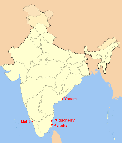
Image: Lagekarte Unionsterritorium Puducherry
No higher resolution available.
Lagekarte_Unionsterritorium_Puducherry.png (514 × 600 pixels, file size: 61 KB, MIME type: image/png)
Description: locator map of Puducherry (union territory of India); self-made using Image:India-locator-map-blank.svg
Lagekarte von Puducherry (indisches Unionsterritorium); selbst erstellt auf der Grundlage von Image:India-locator-map-blank.svg
Author: No machine-readable author provided. Jungpionier assumed (based on copyright claims).
Usage Terms: Creative Commons Attribution-Share Alike 3.0
License: CC-BY-SA-3.0
License Link: http://creativecommons.org/licenses/by-sa/3.0/
Attribution Required?: Yes
Image usage
The following page links to this image:

All content from Kiddle encyclopedia articles (including the article images and facts) can be freely used under Attribution-ShareAlike license, unless stated otherwise.