
Image: Lake County MN highways

Size of this PNG preview of this SVG file: 800 × 474 pixels. Other resolution: 320 × 190 pixels.
Original image (SVG file, nominally 1,026 × 608 pixels, file size: 1.54 MB)
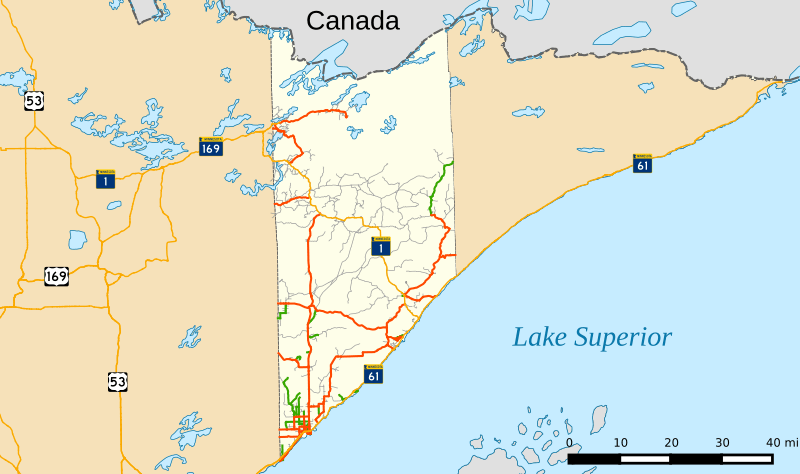
Description: Map of highways in Lake County
Title: Lake County MN highways
Credit: This graphic was created with QGIS National Atlas (land, water, boundaries) Natural Earth Data (parks, city points) US Census Bureau (urban areas, local roads) National Highway Planning Network (major roads)
Author: Fredddie
Usage Terms: Creative Commons Attribution-Share Alike 3.0
License: CC BY-SA 3.0
License Link: http://creativecommons.org/licenses/by-sa/3.0
Attribution Required?: Yes
Image usage
There are no pages that link to this image.

All content from Kiddle encyclopedia articles (including the article images and facts) can be freely used under Attribution-ShareAlike license, unless stated otherwise.