
Image: Lake county usgs national map

Size of this preview: 800 × 501 pixels. Other resolutions: 320 × 201 pixels | 860 × 539 pixels.
Original image (860 × 539 pixels, file size: 1.04 MB, MIME type: image/png)
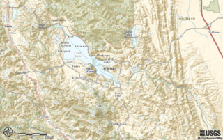
Description: Topological map of central Lake County
Title: Lake county usgs national map
Credit: http://viewer.nationalmap.gov/viewer/#?p=default&b=base1&x=-13654194.339189973&y=4719134.776592036&l=10&v=
Author: U.S. Geological Survey Department of the Interior The USGS home page is http://www.usgs.gov
Usage Terms: Public domain
License: Public domain
Attribution Required?: No
Image usage
The following page links to this image:

All content from Kiddle encyclopedia articles (including the article images and facts) can be freely used under Attribution-ShareAlike license, unless stated otherwise.