
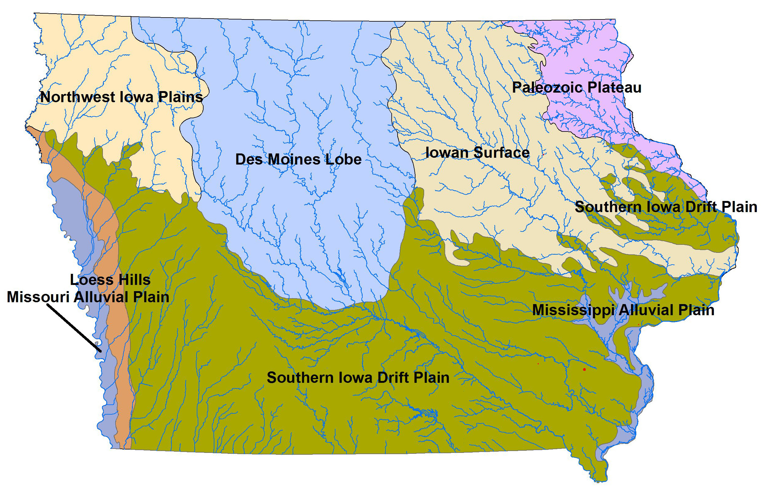
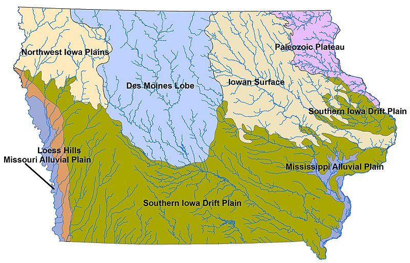
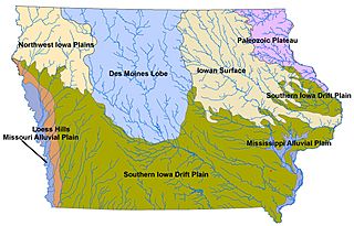
Image: Landforms of Iowa
Size of this preview: 800 × 513 pixels. Other resolutions: 320 × 205 pixels | 2,470 × 1,584 pixels.
Original image (2,470 × 1,584 pixels, file size: 1.39 MB, MIME type: image/jpeg)
Description: Landforms of Iowa, based on public domain Iowa State Unversity Geograpical Map Server and Iowa DNR map. The Landforms are defined by Jean Prior (1991), ultimately based on Samuel Calvin's (1904) Drift Sheets of Iowa map.
Title: Landforms of Iowa
Credit: I created this work entirely by myself. Base map from Iowa DNR server, with ISUGIS rivers superimposed using ArcMap, trimmed in Photoshop
Author: Billwhittaker (talk)
Usage Terms: Creative Commons Attribution-Share Alike 3.0
License: CC BY-SA 3.0
License Link: http://creativecommons.org/licenses/by-sa/3.0
Attribution Required?: Yes
Image usage
The following 3 pages link to this image:

All content from Kiddle encyclopedia articles (including the article images and facts) can be freely used under Attribution-ShareAlike license, unless stated otherwise.