
Image: Landsat GlacierBay 01aug99
Size of this preview: 800 × 480 pixels. Other resolutions: 320 × 192 pixels | 7,500 × 4,500 pixels.
Original image (7,500 × 4,500 pixels, file size: 4.04 MB, MIME type: image/jpeg)
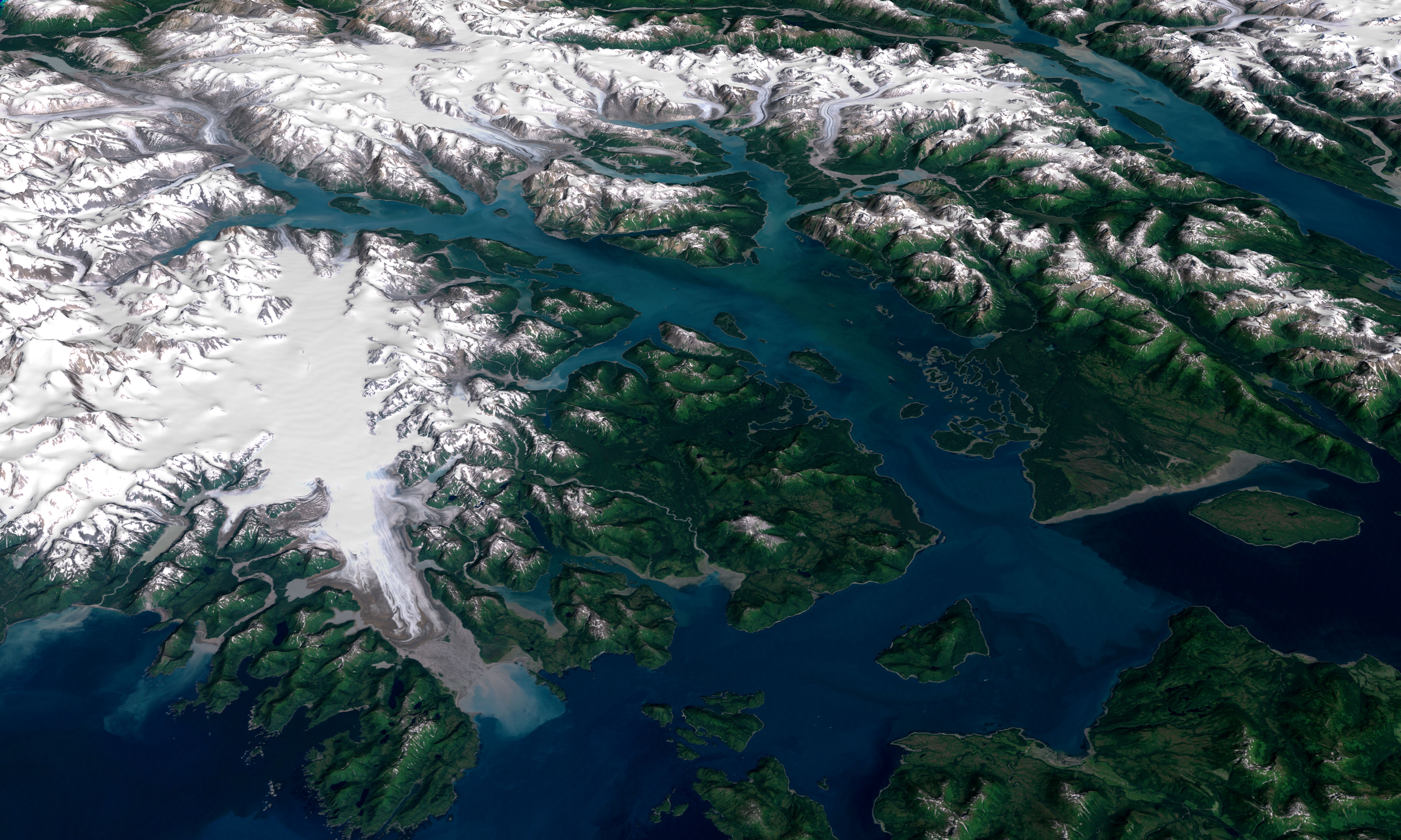
Description: 3D visualization of Landsat imagery of Glacier Bay National Park and Preserve
Title: Landsat GlacierBay 01aug99
Credit: Visible Earth - http://visibleearth.nasa.gov/view_rec.php?id=16657
Author: Landsat Project Science Office at NASA’s Goddard Space Flight Center
Permission: PD
Usage Terms: Public domain
License: Public domain
Attribution Required?: No
Image usage
The following 5 pages link to this image:

All content from Kiddle encyclopedia articles (including the article images and facts) can be freely used under Attribution-ShareAlike license, unless stated otherwise.