
Image: Lasswade Parish Map
Size of this preview: 707 × 600 pixels. Other resolutions: 283 × 240 pixels | 1,796 × 1,524 pixels.
Original image (1,796 × 1,524 pixels, file size: 3.02 MB, MIME type: image/jpeg)
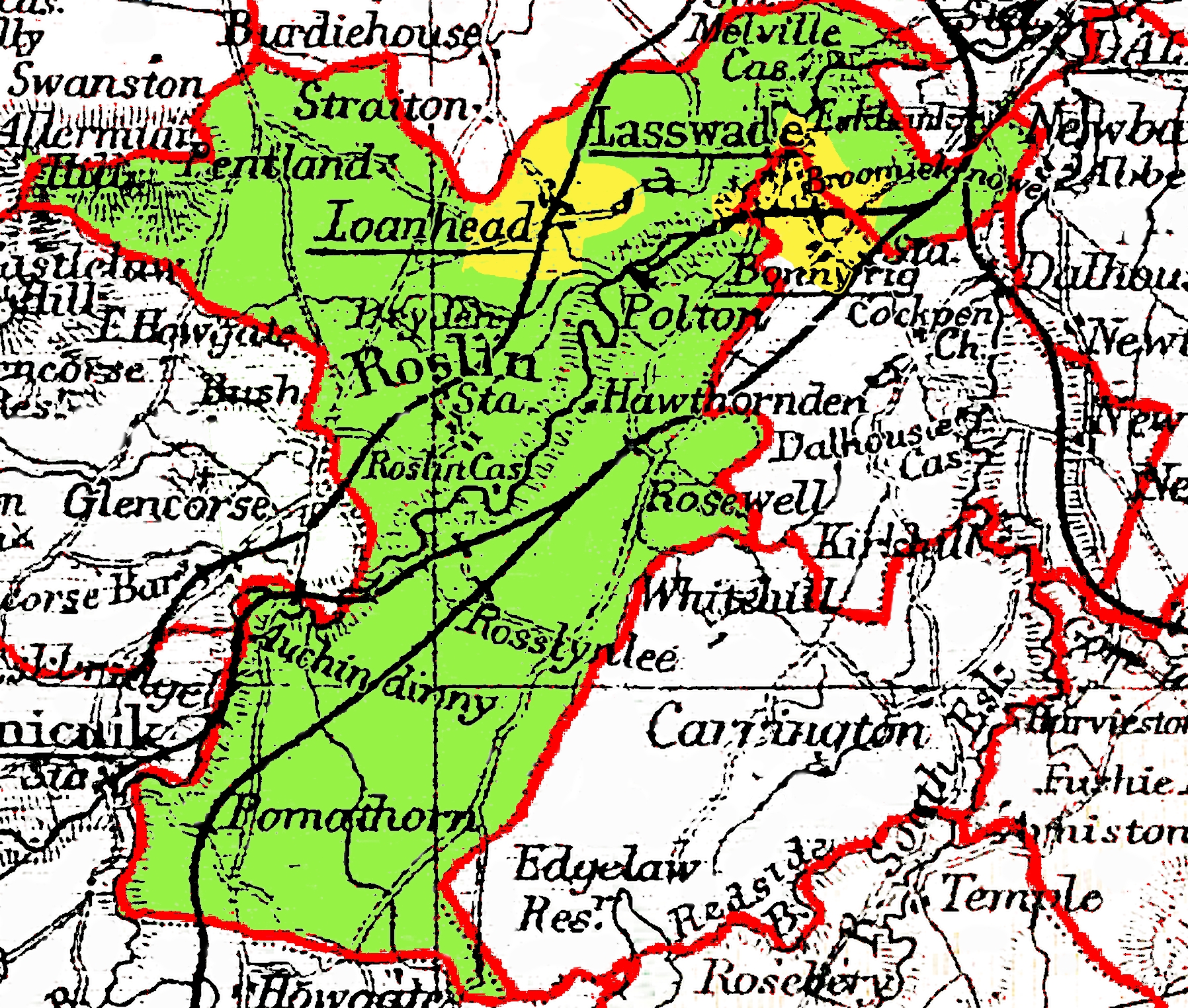
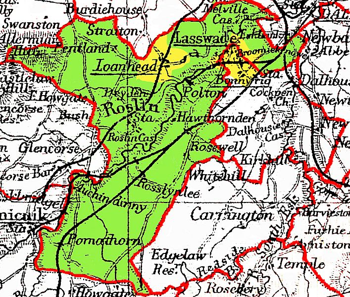
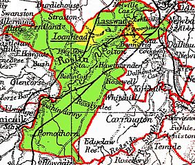
Description: A map depicting the parish of Lasswade in Midlothian in 1900. Parish boundary in red. The yellow coloured areas were under the jurisdiction of police burghs (Loanhead, Bonnyrigg and Lasswade.
Title: Lasswade Parish Map
Credit: Based on an extract of a small part of the map of Edinburghshire(Midlothian) in Philips Handy Administrative Atlas of Scotland, 1900 (out of copyright), which was then editted and enhanced to show the parish of Lasswade. Previously published: No prior publication
Author: Tom1955
Usage Terms: Creative Commons Attribution-ShareAlike 3.0
License: CC-BY-SA-3.0
License Link: https://creativecommons.org/licenses/by-sa/3.0/
Attribution Required?: Yes
Image usage
The following page links to this image:

All content from Kiddle encyclopedia articles (including the article images and facts) can be freely used under Attribution-ShareAlike license, unless stated otherwise.