
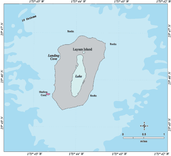
Image: Laysan map lrg
No higher resolution available.
Laysan_map_lrg.gif (600 × 546 pixels, file size: 17 KB, MIME type: image/gif)
Description: Bathymetric map of Laysan Island, Northwestern Hawaiian Islands
Title: Laysan map lrg
Credit: http://www.hawaiireef.noaa.gov/imagery/graphicmaps.html
Author: Christine Taylor, NOAA's National Marine Sanctuary Program
Permission: credit to NOAA is preferred
Usage Terms: Public domain
License: Public domain
Attribution Required?: No
Image usage
The following page links to this image:

All content from Kiddle encyclopedia articles (including the article images and facts) can be freely used under Attribution-ShareAlike license, unless stated otherwise.