
Image: Lenapehoking
Size of this preview: 470 × 600 pixels. Other resolutions: 188 × 240 pixels | 682 × 870 pixels.
Original image (682 × 870 pixels, file size: 491 KB, MIME type: image/png)
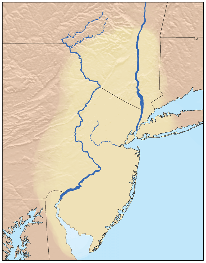
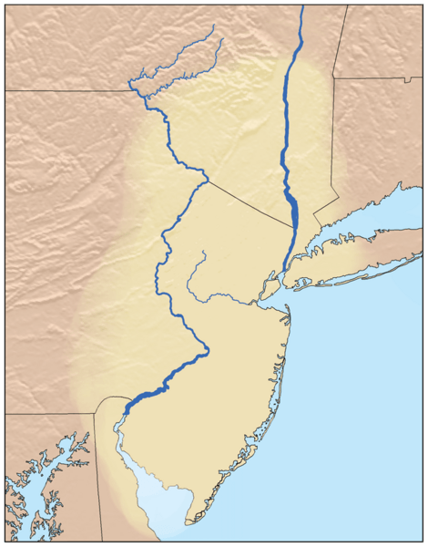
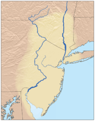
Description: Map showing the Lenapehoking region. Boundaries and rivers are from USGS data. Lenapehoking region is based on this map.
Title: Lenapehoking
Credit: No machine-readable source provided. Own work assumed (based on copyright claims).
Author: No machine-readable author provided. Kmusser assumed (based on copyright claims).
Usage Terms: Creative Commons Attribution-Share Alike 2.5
License: CC BY-SA 2.5
License Link: http://creativecommons.org/licenses/by-sa/2.5
Attribution Required?: Yes
Image usage
The following 2 pages link to this image:

All content from Kiddle encyclopedia articles (including the article images and facts) can be freely used under Attribution-ShareAlike license, unless stated otherwise.