
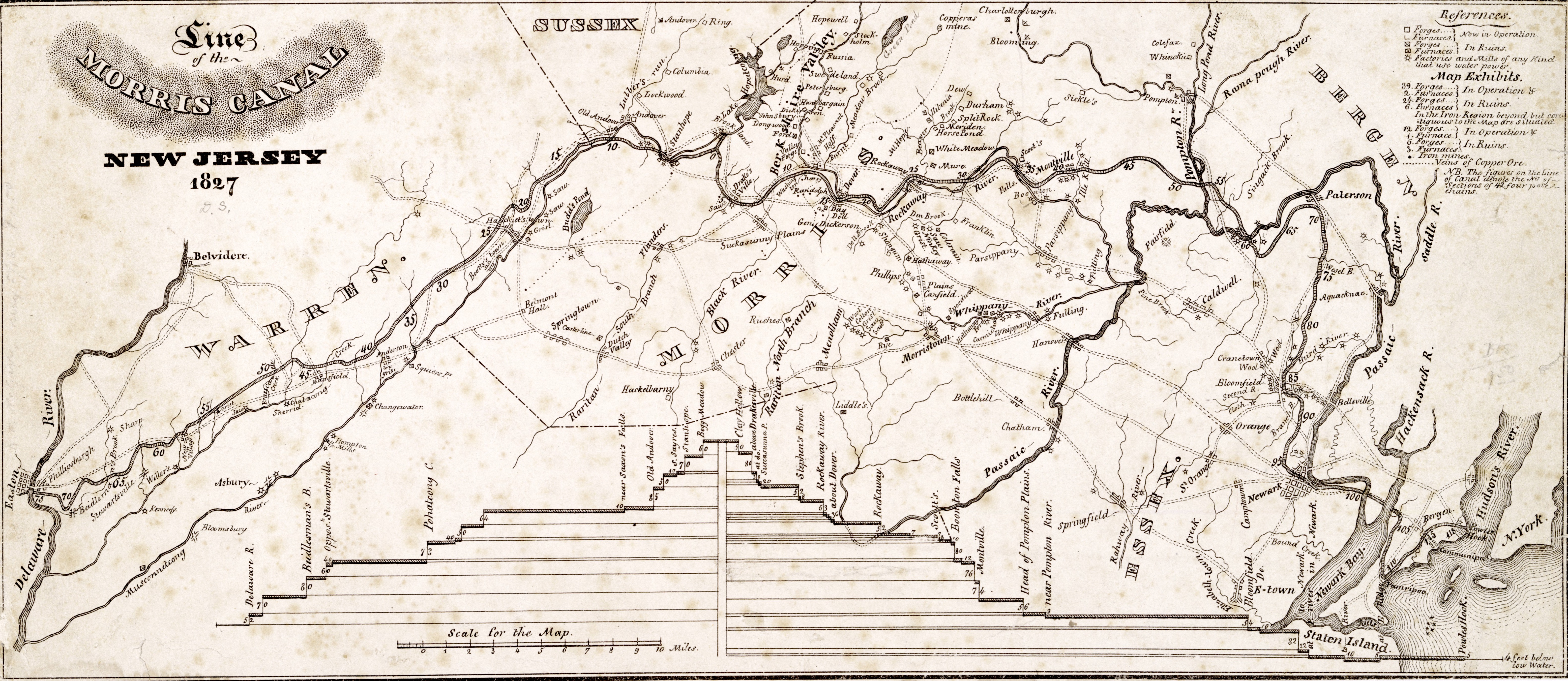
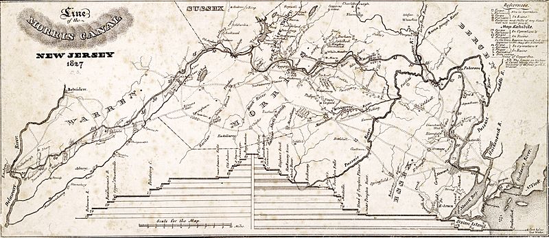
Image: Line of the Morris Canal, New Jersey, 1827
Description: Map of the Morris Canal, New Jersey, from 1827. "Lithogr[aphed] by Imbert."--NYPL Dictionary Catalog of the Map Division. Described in the New York Public Library's Dictionary catalog of the Map Division, VI, p. 640. Includes elevation profile of the canal. National Endowment for the Humanities Grant for Access to Early Maps of the Middle Atlantic Seaboard. NYPL copy trimmed close to neat line. Shows mines, forges, furnaces, factories, rivers, roads, and towns in the area of the Morris Canal, between the Delaware and Hudson rivers.
Title: Line of the Morris Canal, New Jersey, 1827
Credit: https://digitalcollections.nypl.org/items/510d47da-efb4-a3d9-e040-e00a18064a99
Author: Desobry, Prosper (d. 1843 ) (Lithographer)
Permission: This image is available from the New York Public Library's Digital Library under the digital ID 6255ece0-c52b-012f-4aa4-3c075448cc4b: digitalgallery.nypl.org → digitalcollections.nypl.org
Usage Terms: Public domain
License: Public domain
Attribution Required?: No
Image usage
The following 2 pages link to this image:
