
Image: Location map Australia Sydney
Description: Map of Sydney Geographic limits of the map: N: -33.581° S: -34.115° W: 150.639° E: 151.429° This file is licensed under the Creative Commons Attribution-Share Alike 2.0 Generic license. You are free: to share – to copy, distribute and transmit the work to remix – to adapt the work Under the following conditions: attribution – You must attribute the work in the manner specified by the author or licensor (but not in any way that suggests that they endorse you or your use of the work). share alike – If you alter, transform, or build upon this work, you may distribute the resulting work only under the same or similar license to this one. http://creativecommons.org/licenses/by-sa/2.0 CC BY-SA 2.0 Creative Commons Attribution-Share Alike 2.0 truetrue
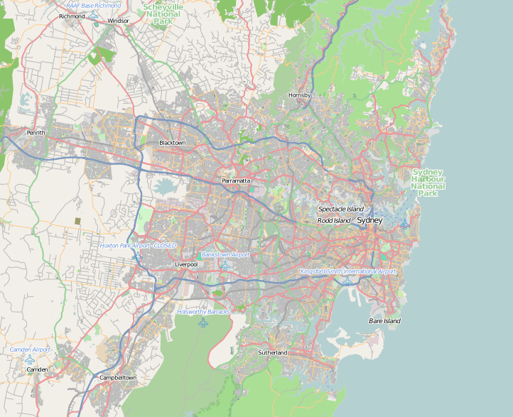
Title: Location map Australia Sydney
Credit: OpenStreetMap
Author: Dr. Blofeld
Usage Terms: Creative Commons Attribution-Share Alike 2.0
License: CC BY-SA 2.0
License Link: http://creativecommons.org/licenses/by-sa/2.0
Attribution Required?: Yes
Image usage
The following 51 pages link to this image:
- Alexandra Canal (New South Wales)
- Annandale, New South Wales
- Badgerys Creek, New South Wales
- Baitul Huda Mosque, Sydney
- Bare Island (New South Wales)
- Ben Buckler Gun Battery
- Bondi Beach
- Bradleys Head Light
- Canley Vale, New South Wales
- Canterbury railway station, Sydney
- Central Synagogue (Sydney)
- Charing Cross, New South Wales
- Chipping Norton Lake
- Church by the Bridge
- Darlinghurst Gaol
- Eveleigh Railway Workshops
- Fort Denison Light
- Galston Gorge
- Garrison Point
- Goat Island (Port Jackson)
- Holy Trinity Greek Orthodox Church, Surry Hills
- Hornby Lighthouse
- Hornsby Plateau
- Iron Cove
- Jacaranda, University of Sydney
- Lake Parramatta
- Macquarie Lighthouse
- Manly Dam
- Middle Harbour
- North Shore (Sydney)
- Parramatta
- Port Jackson
- Potts Point, New South Wales
- Prospect Hill (New South Wales)
- Prospect Reservoir
- St. Spyridon Parish of South East Sydney
- St John's Uniting Church, Neutral Bay
- St Johns Anglican Church Precinct
- St Mark's Church, Darling Point
- St Mary's Anglican Church, Waverley
- St Peter's Church, Darlinghurst
- St Philip's Anglican Church, Kingswood
- St Sophia Greek Orthodox Church, Surry Hills
- Steel Point Battery
- Strathfield South, New South Wales
- Sze Yup Temple
- Victoria Barracks, Sydney
- Walsh Bay
- Wentworth Memorial Church
- Woronora Dam
- Template:Location map Australia Sydney
