
Image: Location map of Clark County, Indiana

Size of this PNG preview of this SVG file: 600 × 600 pixels. Other resolution: 240 × 240 pixels.
Original image (SVG file, nominally 768 × 768 pixels, file size: 418 KB)
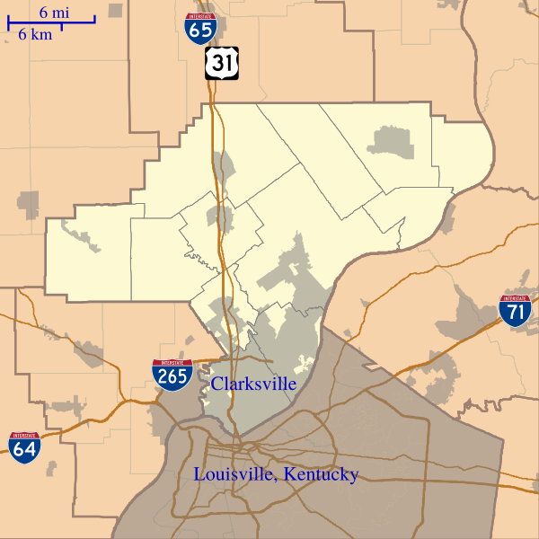
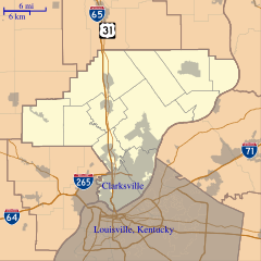
Description: This is a map of Clark County, Indiana, USA which includes incorporated settlements, township borders, and major highways.
Title: Location map of Clark County, Indiana
Credit: My own work, using custom-written MapScript applications with United States Census Bureau data
Author: Omnedon
Usage Terms: Public domain
License: Public domain
Attribution Required?: No
Image usage
The following 24 pages link to this image:
- Abbott–Holloway Farm
- Bennettsville, Indiana
- Bethlehem, Indiana
- Blue Lick, Indiana
- Broom Hill, Indiana
- Carwood, Indiana
- Cementville, Indiana
- Hamburg, Clark County, Indiana
- Hibernia, Clark County, Indiana
- John Work House and Mill Site
- Nabb, Indiana
- Old Jeffersonville Historic District
- Otisco, Indiana
- Otto, Indiana
- Owen, Indiana
- Perry Crossing, Indiana
- Rolling Hills, Clark County, Indiana
- Speed, Indiana
- Starlight, Indiana
- Sunset Village, Indiana
- Underwood, Indiana
- Vesta, Indiana
- Watson, Indiana
- Wilson, Indiana

All content from Kiddle encyclopedia articles (including the article images and facts) can be freely used under Attribution-ShareAlike license, unless stated otherwise.