
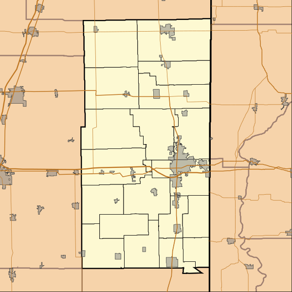
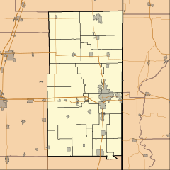
Image: Location map of Vermilion County, Illinois

Size of this PNG preview of this SVG file: 600 × 600 pixels. Other resolution: 240 × 240 pixels.
Original image (SVG file, nominally 768 × 768 pixels, file size: 210 KB)
Description: This is a map of Vermilion County, Illinois, USA which includes township borders.
Title: Location map of Vermilion County, Illinois
Credit: My own work, using custom-written MapScript applications with National Atlas and United States Census Bureau data
Author: Omnedon
Usage Terms: Public domain
License: Public domain
Attribution Required?: No
Image usage
The following 24 pages link to this image:
- Allerton, Illinois
- Armstrong, Illinois
- Belgium, Illinois
- Catlin, Illinois
- Cheneyville, Illinois
- Danville, Illinois
- Fairmount, Illinois
- Fithian, Illinois
- Georgetown, Illinois
- Hartshorn, Illinois
- Henning, Illinois
- Hoopeston, Illinois
- Illiana, Illinois
- Indianola, Illinois
- Jamesburg, Illinois
- Muncie, Illinois
- Oakwood, Illinois
- Potomac, Illinois
- Rankin, Illinois
- Ridge Farm, Illinois
- Rossville, Illinois
- Sidell, Illinois
- Tilton, Illinois
- Westville, Illinois

All content from Kiddle encyclopedia articles (including the article images and facts) can be freely used under Attribution-ShareAlike license, unless stated otherwise.