
Image: Location relief map Borough of Copeland

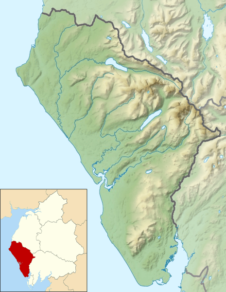
Description: Relief map of the Borough of Copeland, Cumbria, England in 2010. Inset highlights the Borough of Copeland among all the districts of Cumbria. Equirectangular map projection on WGS 84 datum, with N/S stretched 170% Geographic limits: West: 3.68°W East: 3.10°W North: 54.62°N South: 54.18°N
Title: Location relief map Borough of Copeland
Credit: This file was derived from: Cumbria UK relief location map.jpg: Copeland UK ward map 2010 (blank).svg:
Author: Cumbria UK relief location map.jpg: Nilfanion, created using Ordnance Survey data Copeland UK ward map 2010 (blank).svg: Nilfanion, created using Ordnance Survey data derivative work: Dr Greg
Usage Terms: Creative Commons Attribution-Share Alike 4.0
License: CC BY-SA 4.0
License Link: https://creativecommons.org/licenses/by-sa/4.0
Attribution Required?: Yes
Image usage
The following 47 pages link to this image:
- Black Combe
- Blake Fell
- Blea Tarn (Eskdale)
- Bowfell
- Brandreth
- Buckbarrow
- Burnbank Fell
- Burnmoor Tarn
- Caw Fell
- Cogra Moss
- Cold Pike
- Crag Fell
- Crinkle Crags
- Devoke Water
- Esk Pike
- Foxes Tarn
- Gavel Fell
- Great Borne
- Great End
- Great Gable
- Green Crag
- Green Gable
- Grike (Lake District)
- Hard Knott
- Harter Fell (Eskdale)
- Haycock (Lake District)
- High Crag
- High Stile
- Illgill Head
- Innominate Tarn
- Kirk Fell
- Lank Rigg
- Lingmell
- Middle Fell
- Pike of Blisco
- Pillar (Lake District)
- Red Pike (Buttermere)
- Red Pike (Wasdale)
- Scafell
- Scoat Fell
- Seatallan
- Slight Side
- Starling Dodd
- Steeple (Lake District)
- Wast Water
- Whin Rigg
- Yewbarrow
