
Image: Location relief map United Kingdom Forest of Bowland

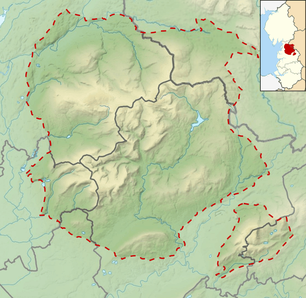
Description: Relief map of the Forest of Bowland Area of Natural Beauty. Geographic limits: North: 54.14° South: 53.79° East: -2.20° West: -2.81°
Title: Location relief map United Kingdom Forest of Bowland
Credit: This file was derived from: Lancashire UK relief location map.jpg: North Yorkshire UK relief location map.jpg: North West England districts 2011 map.svg: England and Wales AONBs map.svg:
Author: Lancashire UK relief location map.jpg: Nilfanion, created using Ordnance Survey data North Yorkshire UK relief location map.jpg: Nilfanion, created using Ordnance Survey data North West England districts 2011 map.svg: Nilfanion, created using Ordnance Survey data England and Wales AONBs map.svg: Nilfanion, created using Ordnance Survey data and Natural England data derivative work: Dr Greg
Usage Terms: Creative Commons Attribution-Share Alike 4.0
License: CC BY-SA 4.0
License Link: https://creativecommons.org/licenses/by-sa/4.0
Attribution Required?: Yes
Image usage
The following 13 pages link to this image:
