
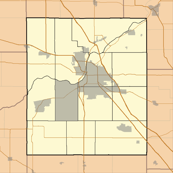
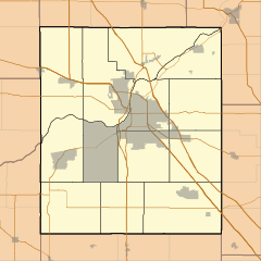
Image: Locator map of Tippecanoe County, Indiana

Size of this PNG preview of this SVG file: 600 × 600 pixels. Other resolution: 240 × 240 pixels.
Original image (SVG file, nominally 768 × 768 pixels, file size: 207 KB)
Description: This is a map of Tippecanoe County, Indiana, USA which includes township borders.
Title: Locator map of Tippecanoe County, Indiana
Credit: My own work, using freely-available shape data from the United States Census Bureau with a custom-written MapScript application
Author: Omnedon
Usage Terms: Public domain
License: Public domain
Attribution Required?: No
Image usage
The following 40 pages link to this image:
- Altamont Switch, Indiana
- Ash Grove, Indiana
- Beeville, Indiana
- Birmingham, Tippecanoe County, Indiana
- Cairo, Indiana
- Centennial Neighborhood District
- Concord, Tippecanoe County, Indiana
- Corwin, Tippecanoe County, Indiana
- Delp, Indiana
- Downtown Lafayette Historic District
- Ellsworth Historic District
- Gladens Corner, Indiana
- Glen Hall, Indiana
- Granville, Indiana
- Green Meadows, Indiana
- Harrisonville, Indiana
- Heath, Indiana
- Jesse Andrew House
- Klondike, Indiana
- LaGrange, Tippecanoe County, Indiana
- McQuinn Estates, Indiana
- Meadowbrook, Indiana
- Monitor, Indiana
- Monroe, Tippecanoe County, Indiana
- Moses Fowler House
- Ninth Street Hill Neighborhood Historic District
- Norma Jean Addition, Indiana
- North Crane, Indiana
- Octagon, Indiana
- Odell, Indiana
- Old Halfway, Indiana
- Pettit, Indiana
- Romney, Indiana
- Samara (house)
- South Raub, Indiana
- St. Mary Historic District (Lafayette, Indiana)
- Taylor, Indiana
- Tippecanoe Battlefield Park
- Tippecanoe County Courthouse
- Wyandot, Indiana

All content from Kiddle encyclopedia articles (including the article images and facts) can be freely used under Attribution-ShareAlike license, unless stated otherwise.