
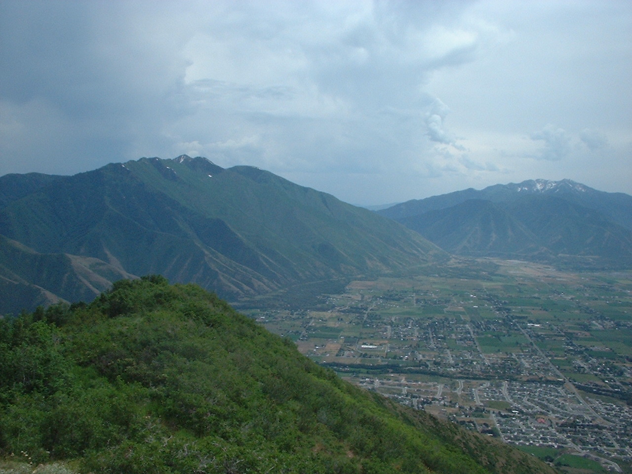
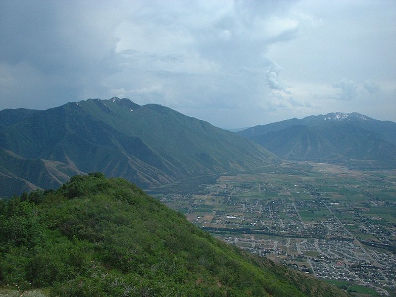
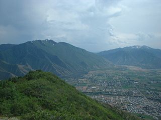
Image: Looking down on east Mapleton, Utah, Jun 04
Size of this preview: 800 × 600 pixels. Other resolutions: 320 × 240 pixels | 1,280 × 960 pixels.
Original image (1,280 × 960 pixels, file size: 313 KB, MIME type: image/jpeg)
Description: Looking down on east Mapleton and the East Bench in southern Utah Valley from near Camel Pass in June 2004. The green strip running horizontally through the lower right is Hobble Creek. On the left is Spanish Fork Peak, Santaquin Peak, and Loafer Mountain near the right, with the mouth of Spanish Fork Canyon in between.
Title: Looking down on east Mapleton, Utah, Jun 04
Credit: Own work
Author: An Errant Knight
Usage Terms: Creative Commons Attribution-Share Alike 4.0
License: CC BY-SA 4.0
License Link: https://creativecommons.org/licenses/by-sa/4.0
Attribution Required?: Yes
Image usage
The following page links to this image:

All content from Kiddle encyclopedia articles (including the article images and facts) can be freely used under Attribution-ShareAlike license, unless stated otherwise.