
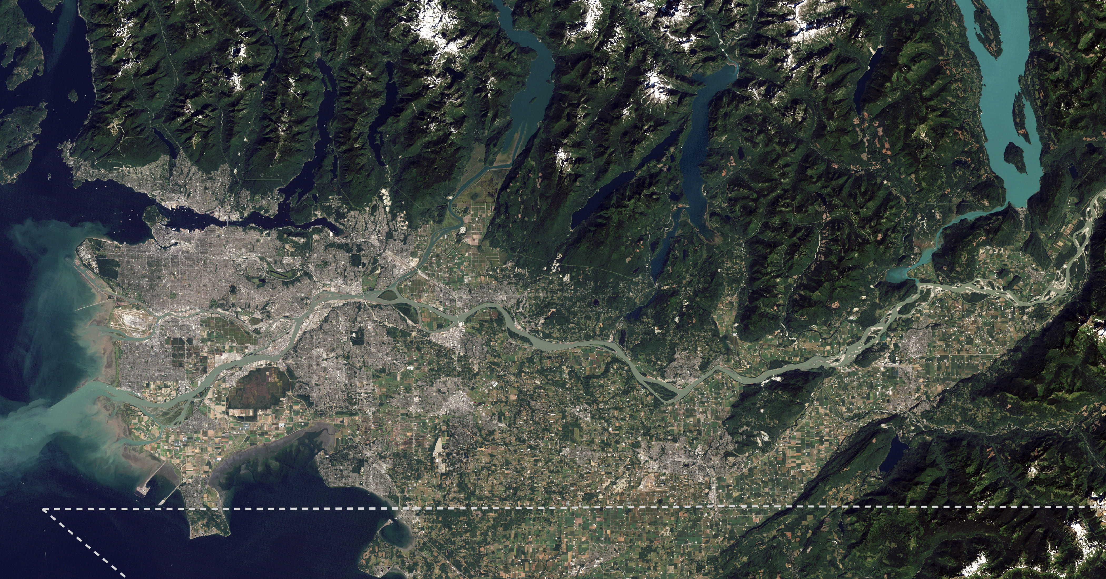
Image: Lower Mainland of British Columbia, 2012
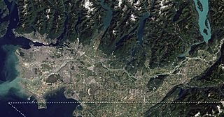
Size of this preview: 800 × 419 pixels. Other resolutions: 320 × 168 pixels | 4,200 × 2,200 pixels.
Original image (4,200 × 2,200 pixels, file size: 3.01 MB, MIME type: image/jpeg)
Description: I took NASA's beautiful satellite image of the Fraser Lowland from 2012 and cropped into the core area of the Lower Mainland. I also added an approximate Canada-US border line meant for visual reference. This image is meant to replace an older satellite image that outlining the Lower Mainland in red.
Title: Lower Mainland of British Columbia, 2012
Credit: The Big Muddy, Western Edition
Author: NASA Goddard Space Flight Center from Greenbelt, MD, USA
Usage Terms: Creative Commons Attribution 2.0
License: CC BY 2.0
License Link: https://creativecommons.org/licenses/by/2.0
Attribution Required?: Yes
Image usage
There are no pages that link to this image.

All content from Kiddle encyclopedia articles (including the article images and facts) can be freely used under Attribution-ShareAlike license, unless stated otherwise.