
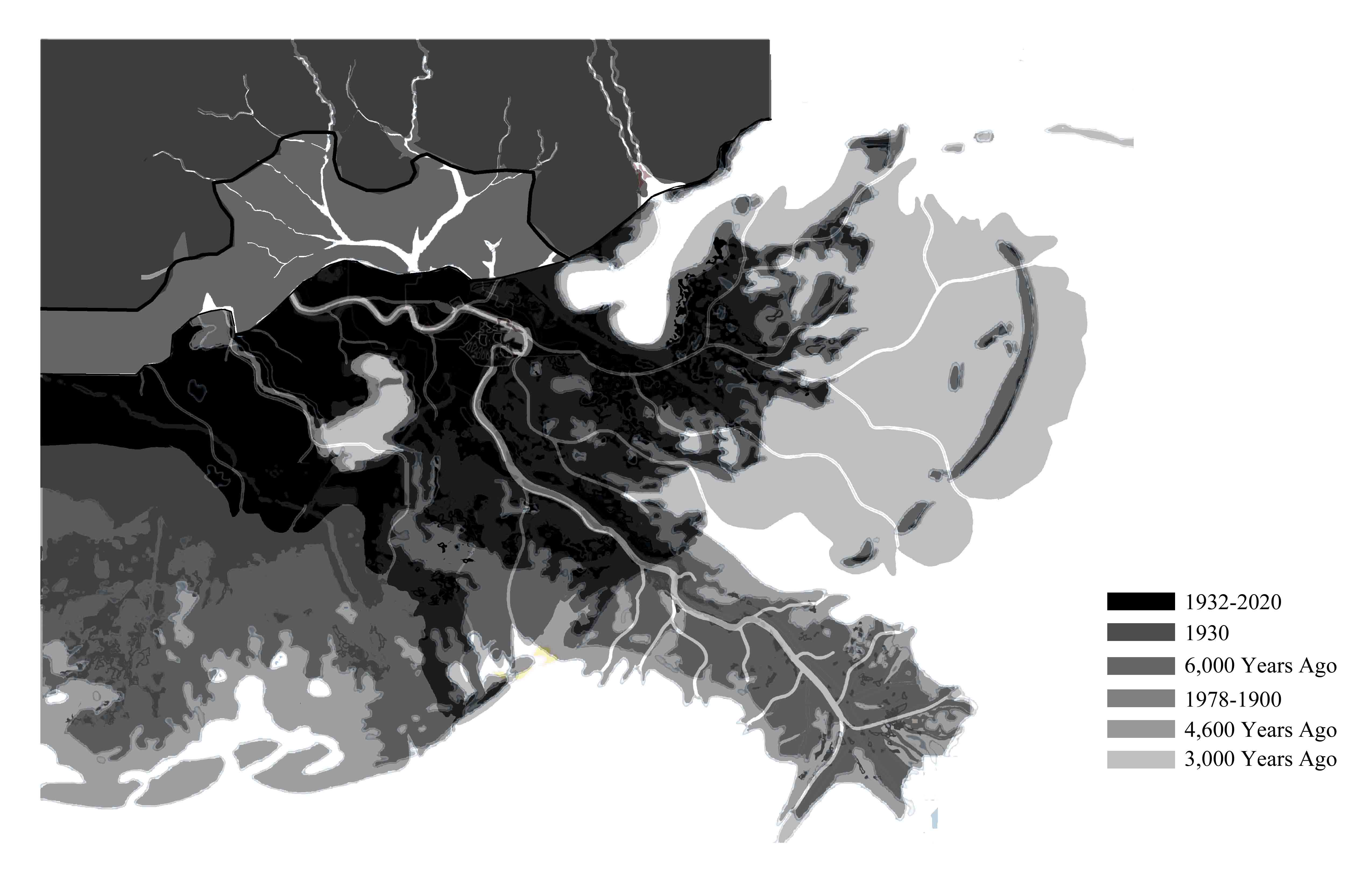
Image: Lower Mississippi River landloss over time
Size of this preview: 800 × 518 pixels. Other resolutions: 320 × 207 pixels | 5,100 × 3,300 pixels.
Original image (5,100 × 3,300 pixels, file size: 398 KB, MIME type: image/jpeg)
Description: The map show the process of the coastline change and land loss.
Title: Lower Mississippi River landloss over time
Credit: Own work
Author: Xue Bai
Usage Terms: Creative Commons Attribution 3.0
License: CC BY 3.0
License Link: http://creativecommons.org/licenses/by/3.0
Attribution Required?: Yes
Image usage
There are no pages that link to this image.

All content from Kiddle encyclopedia articles (including the article images and facts) can be freely used under Attribution-ShareAlike license, unless stated otherwise.